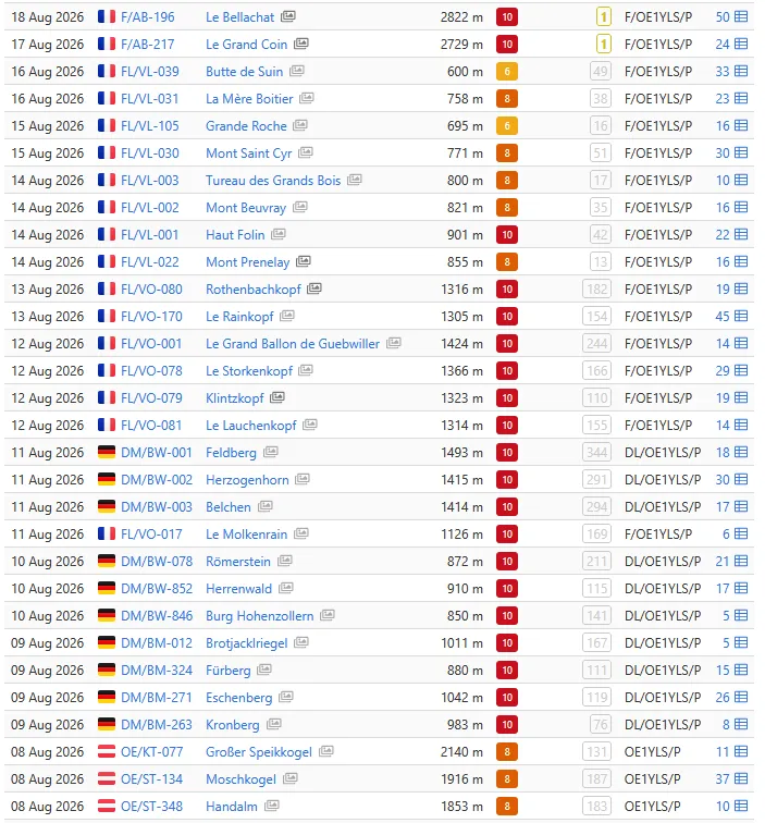
30 activations
(~3000km / ~38 hours of pure driving time)
My life at the moment consists of working and operating. All right, in summer, as a teacher, it consists of operating only. It feels like I don't have a private life any more. I've already infected everyone around me with radio vocabulary, and even my daughter's grandmother no longer asks "How are you?" but "Where are you operating from today?", and instead of "Have a nice holiday" I get "Good radio contacts". My older sister loves the APRS Tracker so she can always check whether I'm still alive, and a dear non-ham friend occasionally writes "Turrach reports 5.9 periodic! seventythreeee". The same one is also calling me YLSi more and more often.
Actually my motto has always been "Why do it the easy way when the hard way works too". Now let's turn the tables for once. Up to now it was primarily about the hiking for me - no matter how long, how far, how high or how hard - and only secondarily about the radio. After roughly 50,000 vertical metres of ascent in my legs this year, though, my knees above all are screaming for a break. Somehow the pine resin ointment and comfrey ointment aren't enough any more to get the pain under control.
The perfect time, then, to set off on the radio roadtrip I'd planned. Everything was supposed to revolve around activating three 4000-metre summits in Switzerland. I've been planning this project with a French friend since January. The date was set for mid-August. Two weeks beforehand the mountain guide cancels the tour, because the crevasses are getting more and more dangerous. He replaces Breithorn, Pollux and Castor with a different four-day tour. But since there isn't a single SOTA summit in it for me, I pull out.
My trip actually starts on 8 Aug with Fieldday 69. That day I drive off with all my kit towards the Koralpe, activate the Gr. Speikkogel, the Moschkogel and the Handalm and then drive on a bit further to the Styrians' fieldday. Sadly I don't get to put a single face to the familiar voices. OE6TNO, Jürgen, is even there at the same time as me, and yet we still manage not to bump into each other. I can't stay long either, because the same day it's on to Vienna. Six hours of driving in one day is enough for me as a start. I stay one night in Vienna and on 9 Aug at 7 a.m. I'm already sitting in the car again.
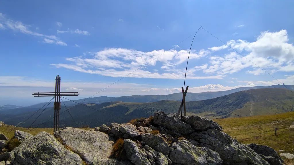
Day 1 (9 Aug) - Bayrischer Wald
- Brotjacklriegel (DM/BW-012)
- Fürberg (DM/BW-324)
- Eschenberg (DM/BW-271)
- Kronberg (DM/BW-263)
I only pick a few summits in the Bayrischer Wald at random the evening before, around 10 p.m. You really are spoilt for choice up there, and all those little 10-point summits are simply too tempting not to make a detour for. I definitely don't take the time to plan a proper tour. Bad mistake, because on the very first summit (Brotjacklriegel) I'm presented with the bill. An enormous source of interference spoils my very first activation in Germany. I turn the mic gain up to 90% and even the strongest stations sound extremely faint when I scan the frequencies. DC0RB Wolfgang saves me from a complete failure, and from that moment at the latest I'm very grateful for his tips.
How quickly you can be up and down again on a mountain worth 10 points! I'm fascinated. I can beat the Alert times without having to rush, and I don't even have to eat while walking the way I normally do.
Summits 2 and 3 (Fürberg, Eschenberg) win me over again and I'm glad they're in the forest where it's shady. My highlight QSO is with IN3KSK Paolo, who makes it all the way from Bolzano to me in the Bayrischer Wald with 10W and a report of 57.
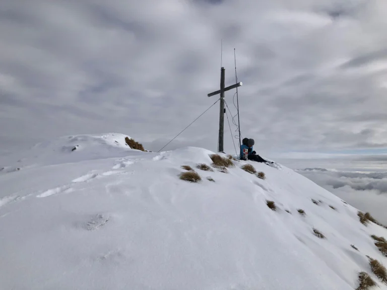
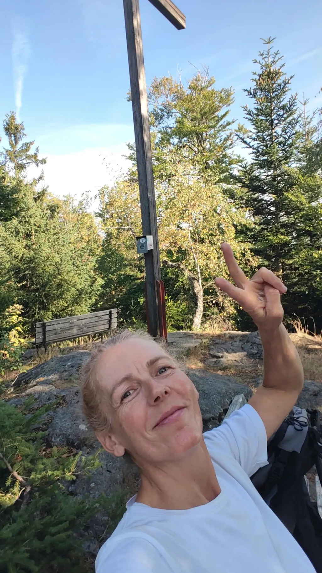
And when I manage the Kronberg as an encore too and sit relaxed on the bench next to the summit cross, my conclusion at the end of day 1 is: only 500 vertical metres for 4 summits and no pain. On the other hand I feel extremely silly for not really having earned the points. My non-ham friend says I should be ashamed of myself for scrounging points on those molehills. He's not wrong. When you're normally used to a walk-in of several hours, they don't just feel like cheap points, they feel like a gift. By day 5 at the latest I'm thinking differently, because a roadtrip with lots of activations, serious heat and many kilometres of driving is genuinely exhausting.
Day 2 (10 Aug) - Schwäbische Alp
- Römerstein (DM/BW-078)
- Herrenwald (DM/BW-852)
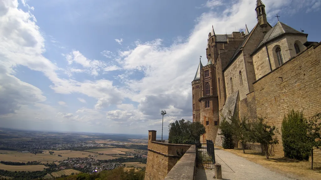
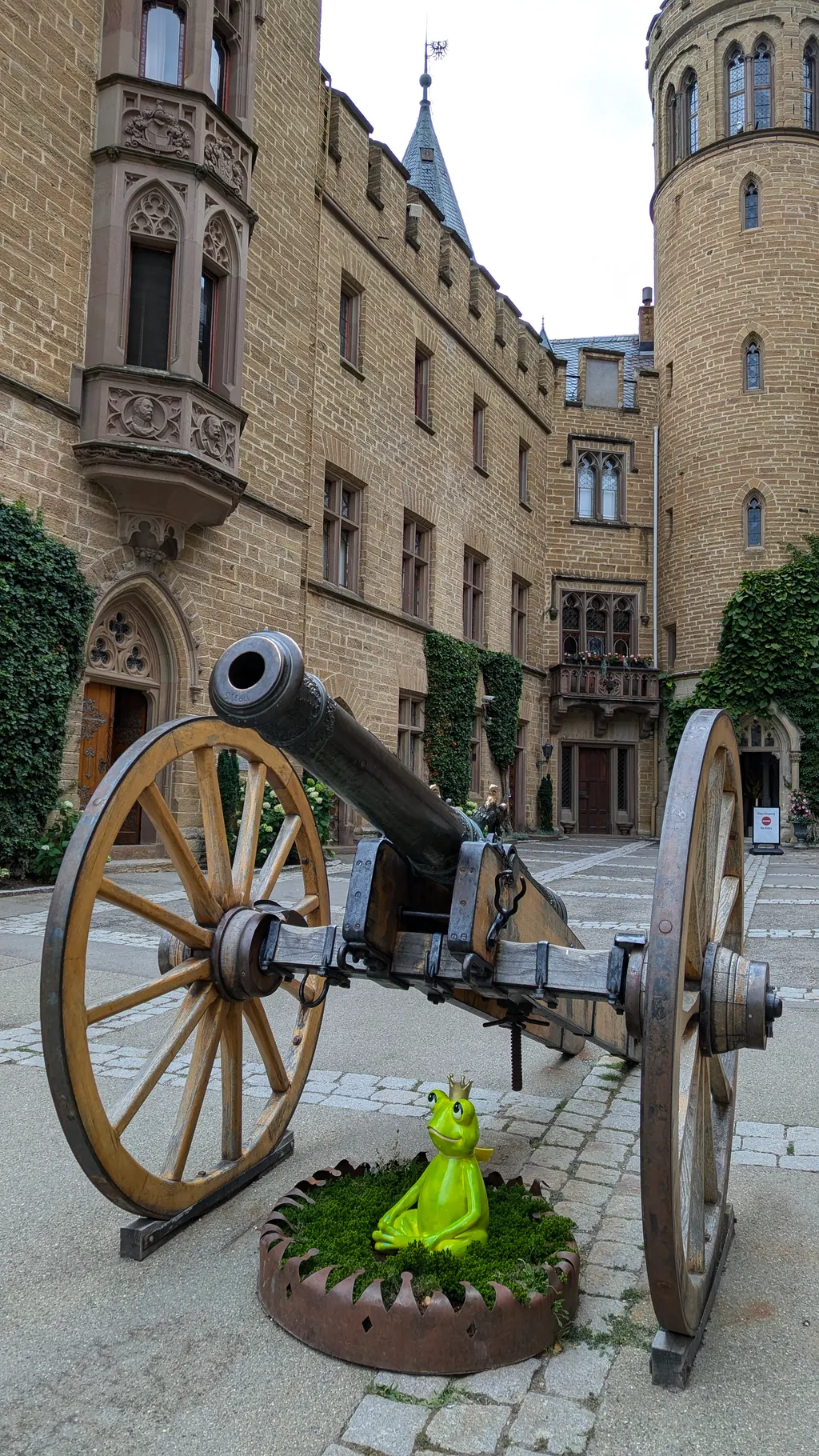
- Burg Hohenzollern (DM/BW-846)
After a night somewhere in the forest, I'm off again at 6h30 - a bit more than three hours of driving on the German Autobahn. Even a Smart goes whooshing past me on the left at 150kmh. For 8 years I drove this stretch several times a year from France to Austria, when I was living in Burgundy with my daughter. For 8 years we hardly ever left the motorway on the way. And now, after 8 years back in Austria, I finally get to drive towards my second home again, and I use every opportunity to finally explore the areas off the motorway a bit. Once again I love Sotlas for that.
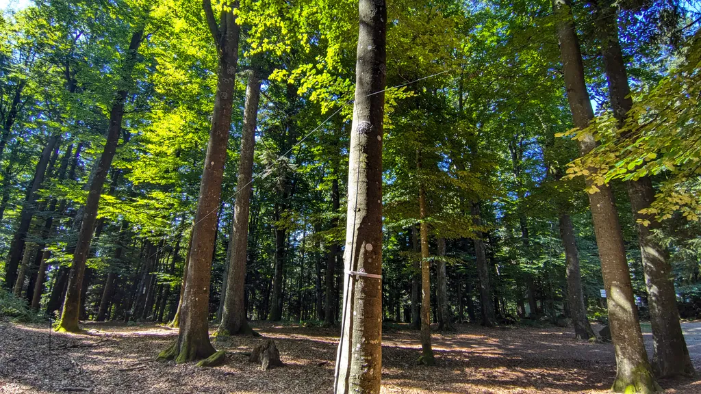
In the Schwäbische Alb too I only pick a few summits at random, first coming across Burg Hohenzollern and then planning the rest around it. On the Römerstein, after a 10-minute walk in, I'm alone on a meadow with a barbecue spot and enjoy the absolute quiet while operating. On to the Herrenwald - 5 minutes down, 30 minutes' drive, 20 minutes up, set up and operate in the middle of the forest. The clouds look a bit threatening, but it's only back at the car park that it starts to rain lightly. On the drive to Burg Hohenzollern it looks pretty black above the castle as well. Never mind, if I can't operate then I'll do some sightseeing in the castle.
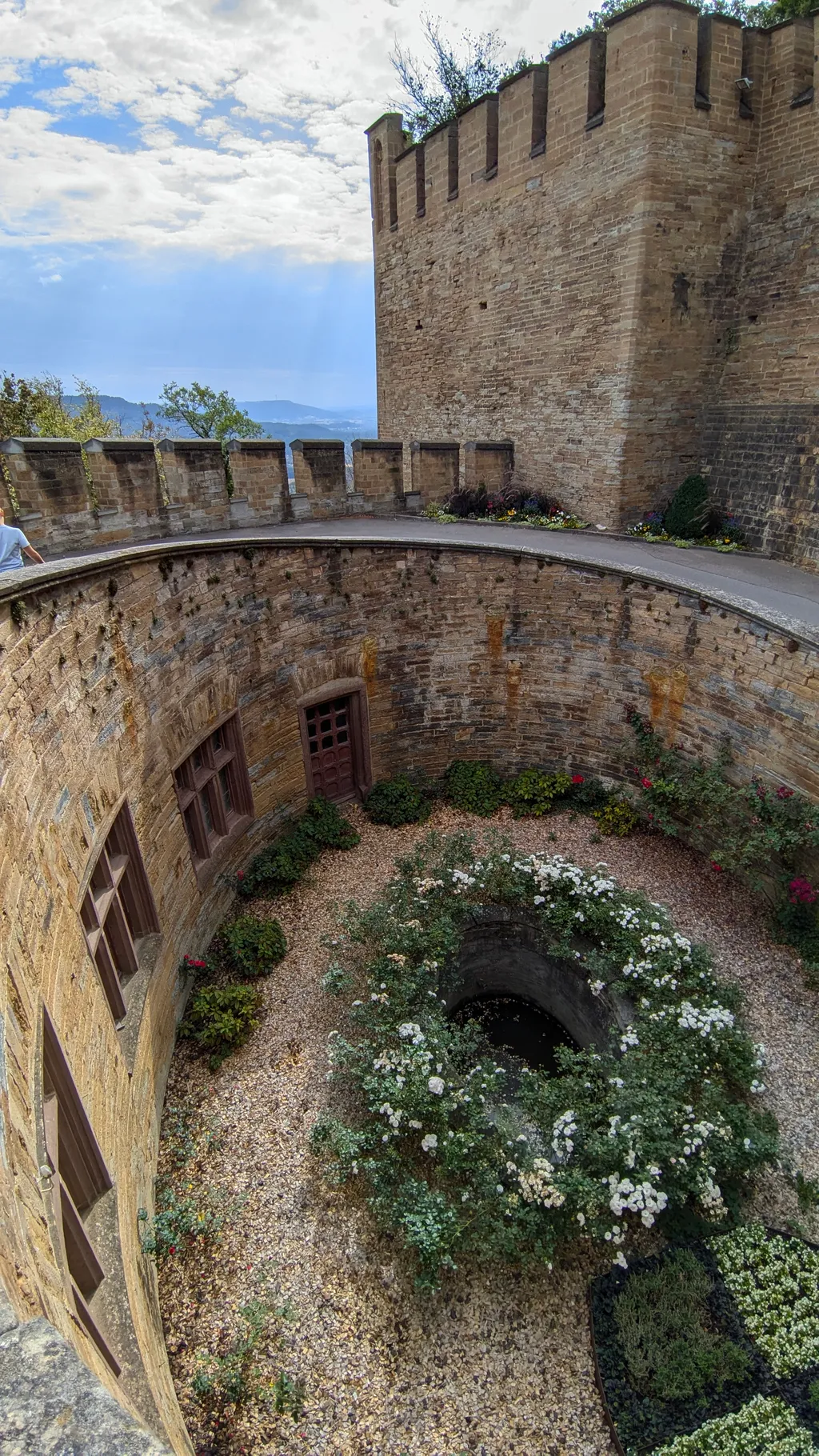
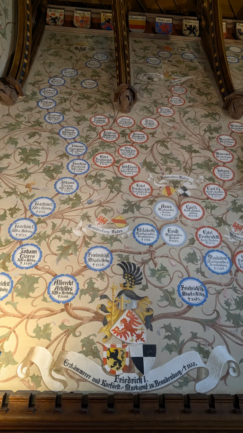
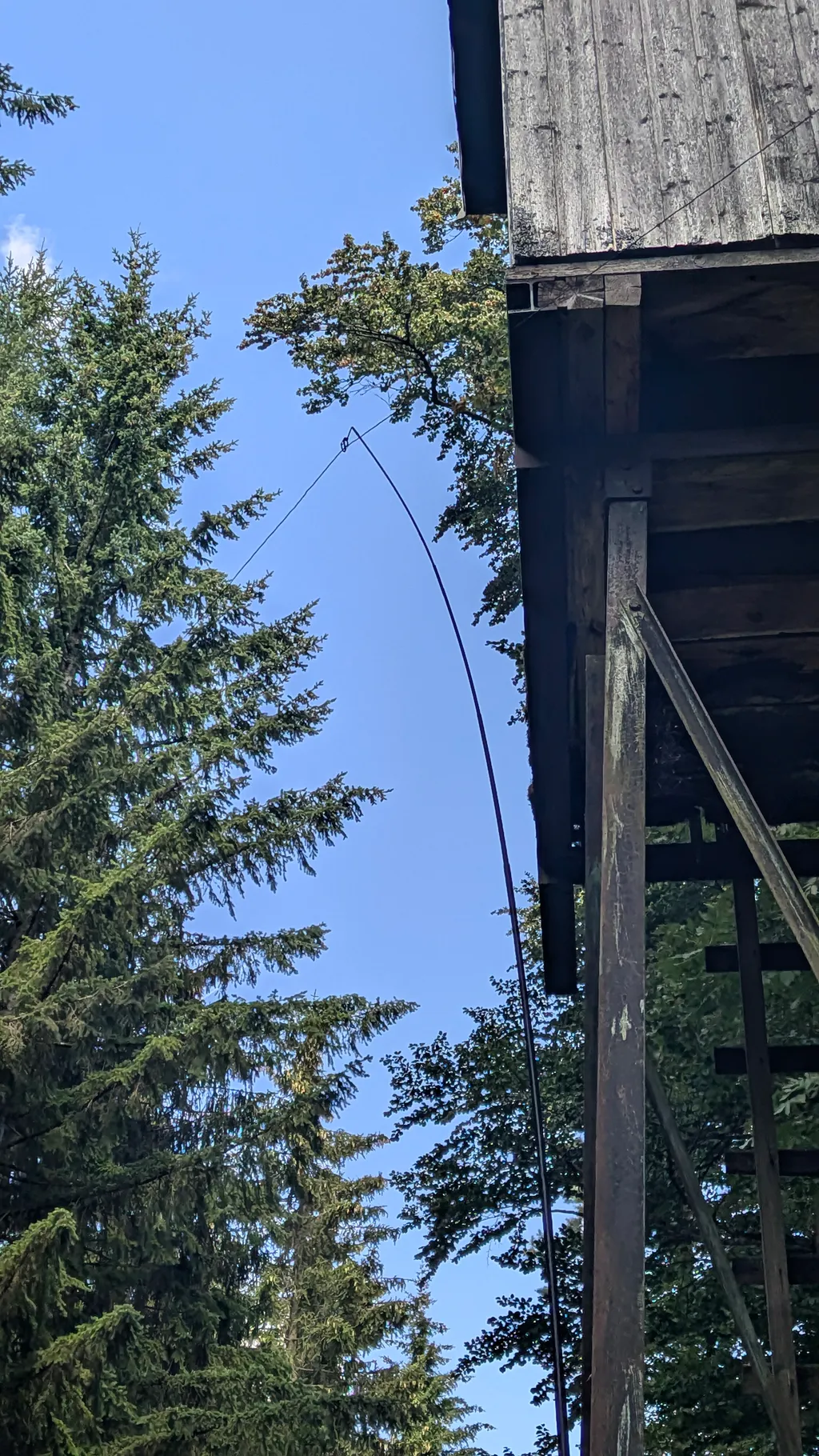
No sooner said than done. Park, buy a ticket, walk up for 15 min. Inside the castle I throw the EndFed over the castle wall and try not to be in anyone's way. I still get asked about my fishing several times. The SWR is a bit high and the thick castle wall means I can't get out in every direction either. After 3 hard-won QSOs it starts raining again and I quickly pack up. Under a tree I pull out the handheld and call in what feels like 100 times until finally 2 pensioners take pity on me and answer. But the conversations are all the nicer for it, and one of them gives me a tip for the next day in the Schwarzwald: the Belchen.
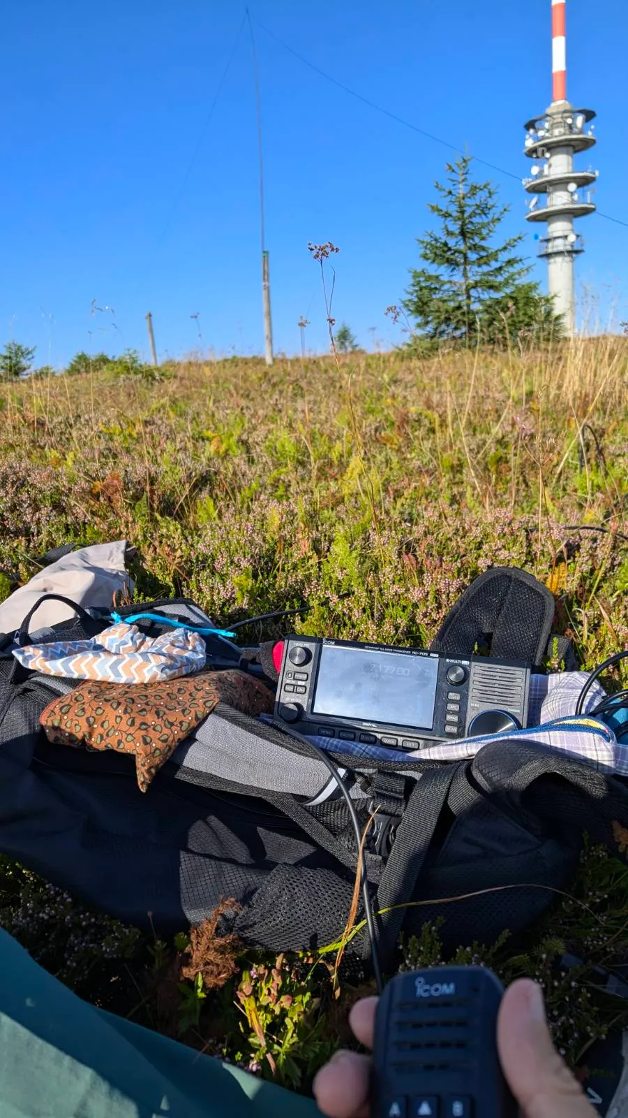
Until the rain has passed I do a tour of all the floors of the castle, and back at the car park I look up the Belchen and this time consider activating DM/BW-001, 002 and 003. I set up camp below the Feldberg (001) and have to note, to my dismay, that here too there's a transmitter mast on the summit again.
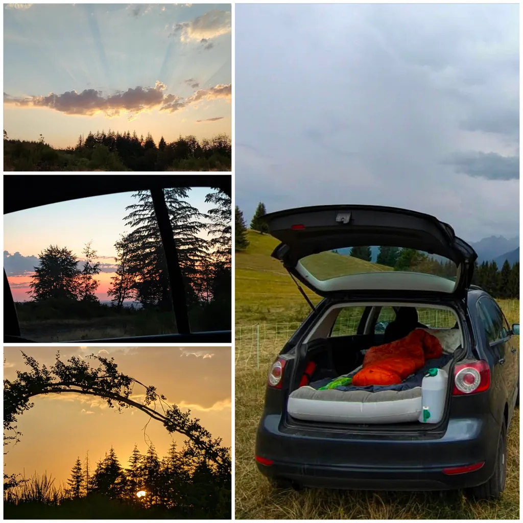
The car is quickly converted back into a sleeping place. Fold the seats down, inflate the mat, cook something, eat, brush teeth, make notes, earplugs in, sleep. The simpler the better.
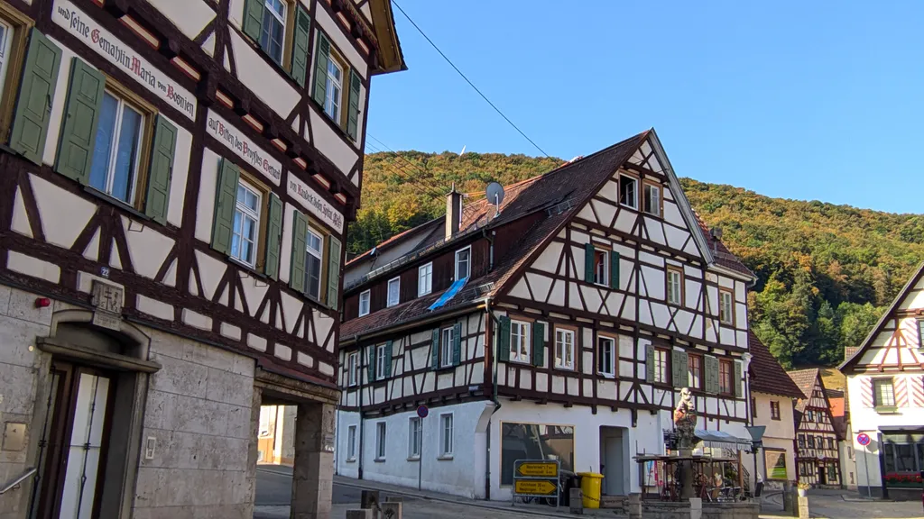
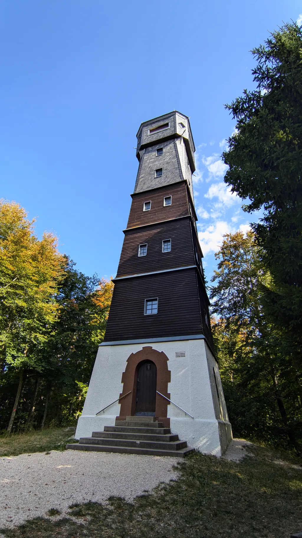
Day 3 (11 Aug) - Schwarzwald
- Feldberg (DM/BW-001)
- Herzogenhorn (DM/BW-002)
- Belchen (DM/BW-003)
- Le Molkenrain (FL/VO-017)
Since I'm already on the spot today, I can be QRV on the first mountain at 8 a.m., after sunrise and breakfast. I strolled up the 15 min. of ascent to the summit at a leisurely pace. Bit by bit I'm getting used to these luxury walk-ins.
At that time of day I'm not expecting very much and I'm astonished that quite a few of the by now familiar voices are QRV on 20m, like SQ9CWO Jan, SM4VBO Stefan, EA3EVL Pablo, DL9NCI Georg, HB9DIZ Markus (who also „accompanies" me via Signal for the whole trip) or F4WBN Christian (with a standard report of 59 from my side). That makes me really happy, and when I then also get to have a thoroughly nice and long QSO on 2m with the Swiss mountain nut René HB9NBG, I'm completely blown away. He recommends a few 3000-metre summits in Switzerland to me, which I note down for the drive back from France.
On to 002. Here the walk in is a touch longer at 35 minutes and a huge summit cross and a bench for sitting and logging are waiting for me. The mobile signal isn't always particularly good, but somehow I manage to spot every time.
Off to 003, where a gondola takes me up and only 15 minutes of climbing are left.
In the gondola on the way up I look at what the next day might have to offer. I swipe further west on Sotlas and look for Le Grand Ballon in the Elsass. I quickly find a few other hills as well and ta-da, the next day is planned.
It's such a big help when you find a track on Sotlas. It saves you so much time and I'm really grateful for it. That's exactly why I always upload tracks and descriptions or photos when there aren't any yet. All in all that's really not a small amount of work (at least with my number of activations), but I hope that someone will find the tracks as helpful as I do.
Thanks to the short walking times the 3 summits are activated faster than planned and the journey continues towards France. I drive as little motorway as possible and get extremely sentimental once I'm finally on French soil. I can hardly pull myself together for almost 2 days and keep fighting back the tears - even while operating.
Since I arrive at the car park where I want to sleep 2 hours early, I set off once more and after 20 minutes I'm on the Molkenrain. And so I activate my first French summit. The propagation isn't particularly good, but it still turns into 6 QSOs.
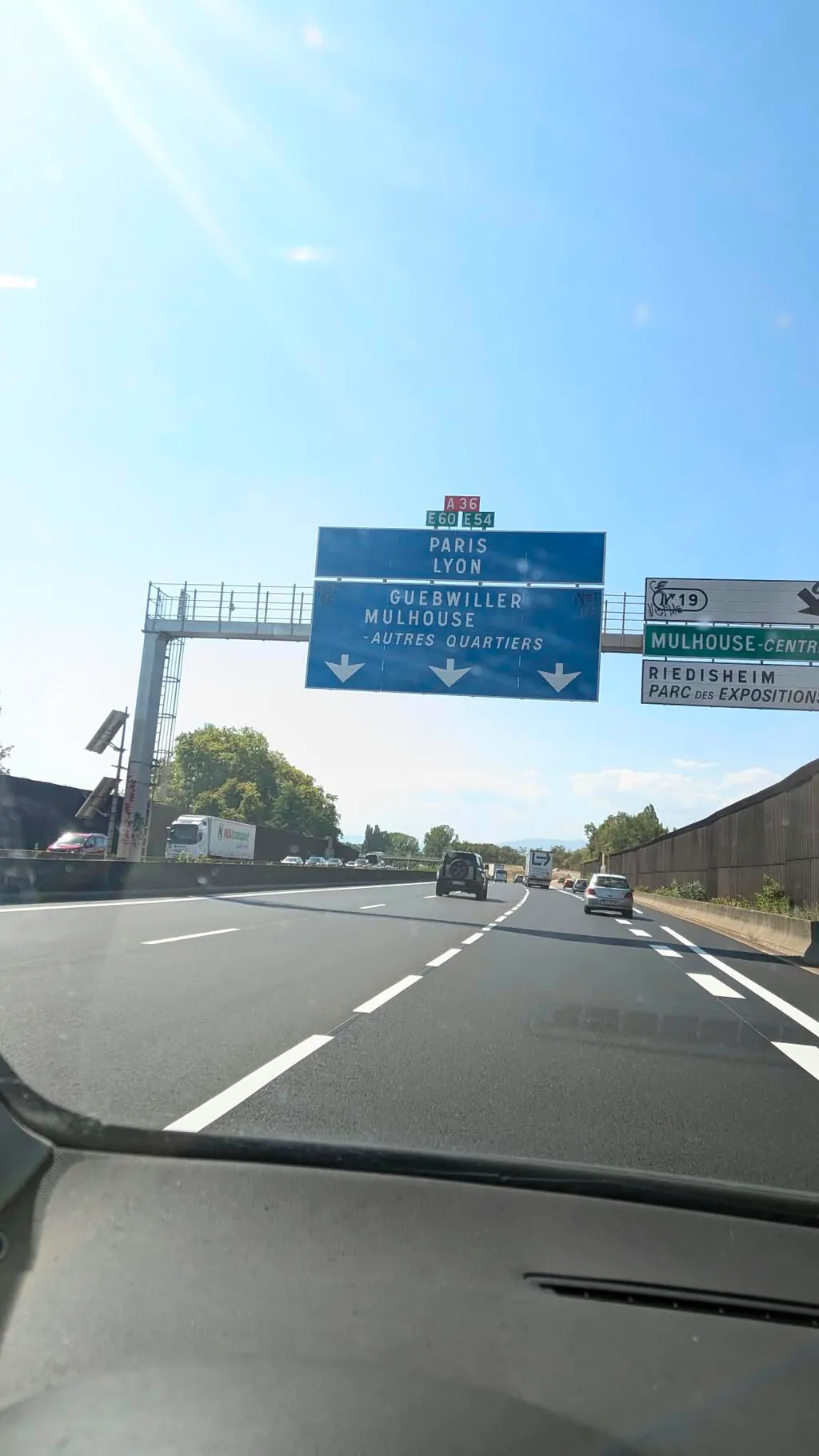
Day 4 (12 Aug) - Elsass
- Le Grand Ballon de Guebwiller (FL/VO-001)
- Le Storkenkopf (FL/VO-078)
- Klintzkopf (FL/VO-079)
- Le Lauchenkopf (FL/VO-081)
Now I'm right in the middle of walk-in paradise. To each of the planned summits it's a maximum of 20 minutes.
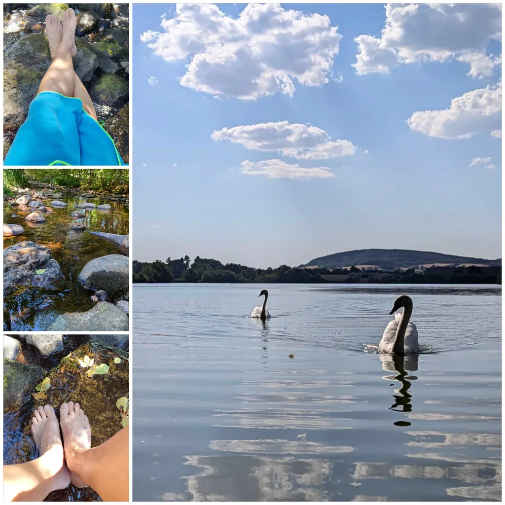
Today I'm even back at the car at 14:45 after the 4th summit. Two more summits would easily have fitted in (hi). I prefer a chilled afternoon including a bath in a mountain stream and a siesta on the picnic blanket in the middle of the forest. Highlight 1 of the day: on the road from summit 2 to 3 I get overtaken by 2 cyclists while going downhill at 60km/h. Highlight 2: before summit 4 I meet F4SCQ Laurent, whom I'd already worked from the previous summits, and so I also get a Complete in France straight away, because he's a summit ahead of me twice over. We chat for about 20 minutes and I'm delighted to finally run into another ham on the mountain by chance.
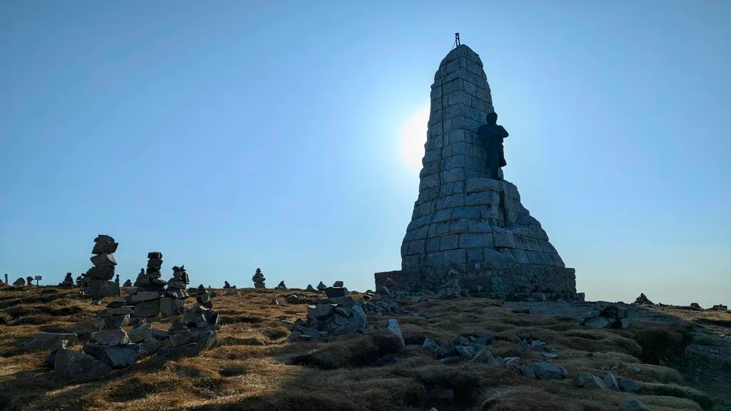
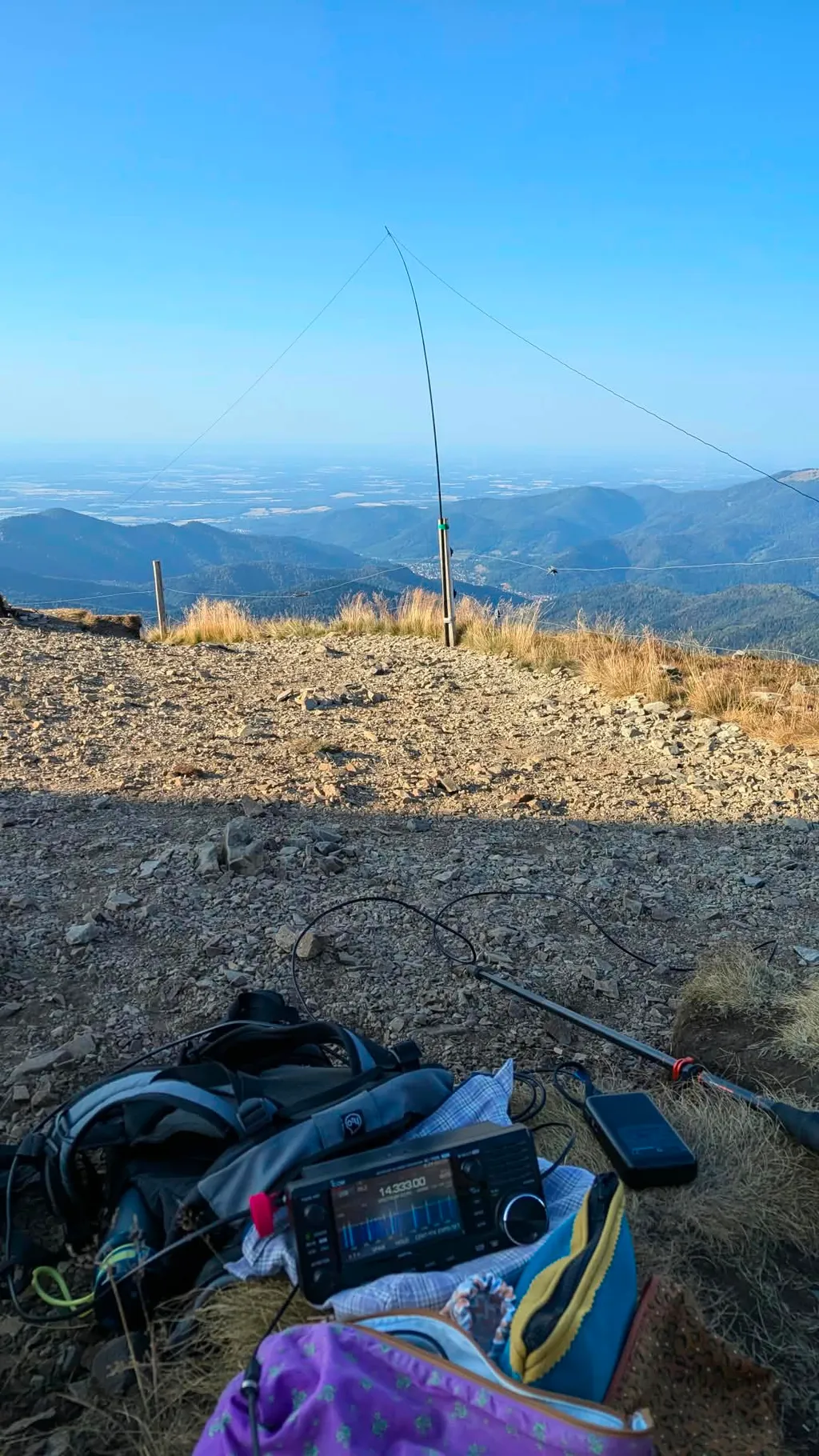
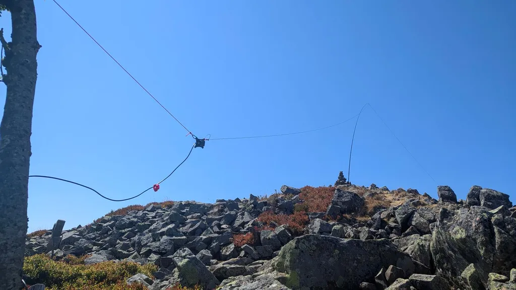
Day 5 (13 Aug) - Elsass
- Rothenbachkopf (FL/VO-080)
- Le Rainkopf (FL/VO-170)
I sleep so well that I don't wake up until 7h30. The first Alert is set for 8h30. Since I'm not going to make that anyway, I don't even bother to hurry. Today the production-line operating is getting on my own nerves, but now I'm here anyway. I'll do 2 more summits in the Elsass, then I've had enough. I'd rather look into whether I can find a mountain somewhere in France for a first activation.
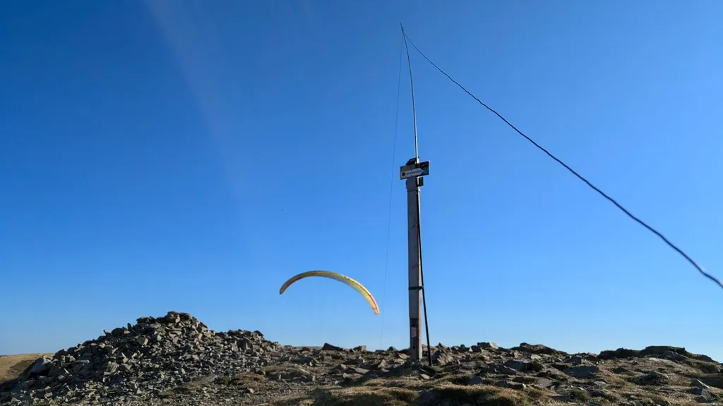
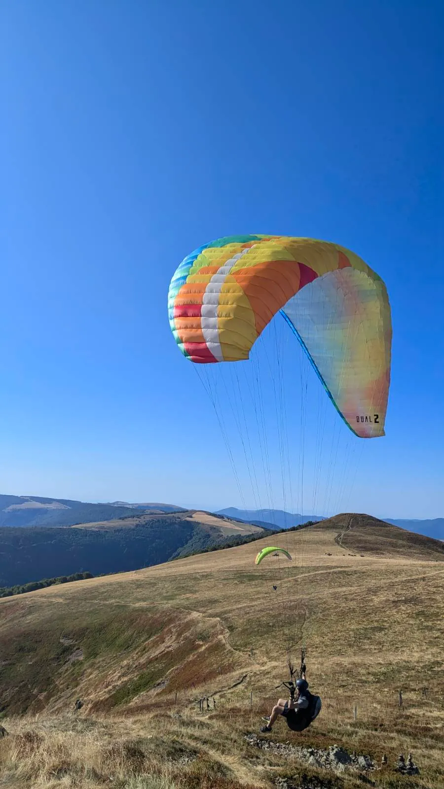
My first summit today is apparently a hotspot for paragliders, because they're flying around above my head the whole (radio) time.
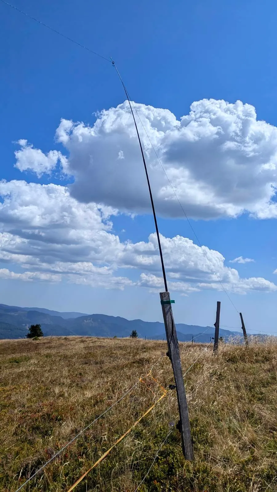
It's only bearable in the shade and the alpine meadows here are completely brown and extremely dry.
How cyclists and runners can stand the midday heat on the alpine roads here is a mystery to me. After almost 3 hours of activating on the Rainkopf in the blazing sun I'm staggering towards the car myself.
The heat is brutal, and I lie down in the same stream as the day before. At 40 degrees on the motorway, after this longer cooling-off break in the stream, I carry on towards Burgundy.
After 4h30 of driving I sleep in the middle of the forest again, 10 minutes from the village where I'm starting the next day. Final highlight: 2 long, fat shooting stars that I get to see out of the rear window around 11 p.m.
Day 6 (14 Aug) - Parc Naturel du Morvan
- Tureau des Grands Bois (FL/VL-003)
- Haut Folin (FL/VL-001)
- Mont Prenelay (FL/VL-022)
- Mont Beuvray (FL/VL-002)
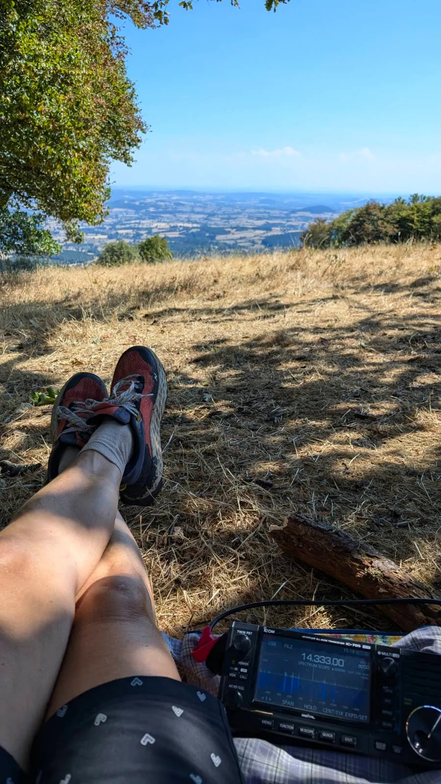
I know the Morvan national park from climbing and I'm really looking forward to operating here. Today it occurs to me that I actually used to have bad knee pain. Hallelujah, it's gone now! On the other hand, no mountain where I'm activating from here on is higher than 900m any more, and since the start of the radio trip I've been able to go operating in my running shoes instead of my hiking boots.
The day begins quite promisingly when the local postman wishes me a nice hike and a lady wishes me good morning out of her house. But what can I say - yet another transmitter mast on the summit. The operating only creeps along and on 2m I hear several stations that absolutely cannot hear me. Never mind, it starts to rain and I pack everything up again.
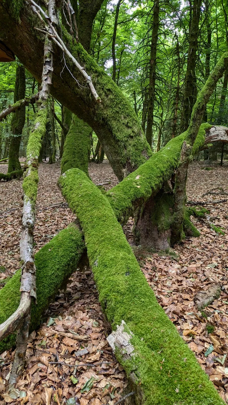
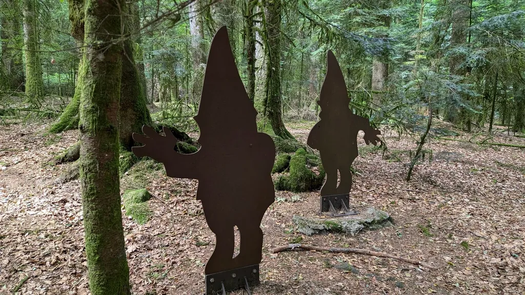
On the Haut Folin I can even set the antenna up right next to the car and operate from the car park. In return there's a bit more walking again on the Mont Preneley. This is where the river Yonne rises and the forest is typical of the Morvan. A mixture of enchanted and bewitched, where the moss grows up the trees and gnomes and pixies could jump out from behind a tree at any moment. On 2m I have several stations coming back to me and I have to grin, because they obviously love a chat and my QSOs feel like they last forever. The day before I'd had the idea of noting down a few local callsigns via aprs.fi and then writing to them via QRZ, asking them to pass the word on in case anyone wanted to work me. Even though it's almost 40 degrees on the last mountain, Beuvray, it's these local contacts above all that make me happy. On every activation somebody different comes back to me on 2m.
In the late afternoon I drive another 1h30 towards Charolles. I left half my soul here when I moved back to Austria with my daughter in 2018. I sleep at friends' place and of course get pretty nostalgic again. But my heart aches most of all because the normally so beautiful green landscape is completely brown and burnt.
Days 7 & 8 (15 + 16 Aug) - Charollais, Brionnais
- Grande Roche (FL/VL-105)
- Mont Saint Cyr (FL/VL-030)
- Butte de Suin (FL/VL-039)
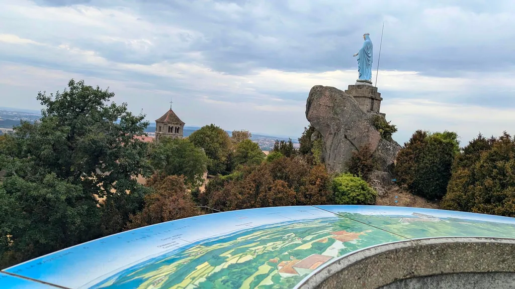
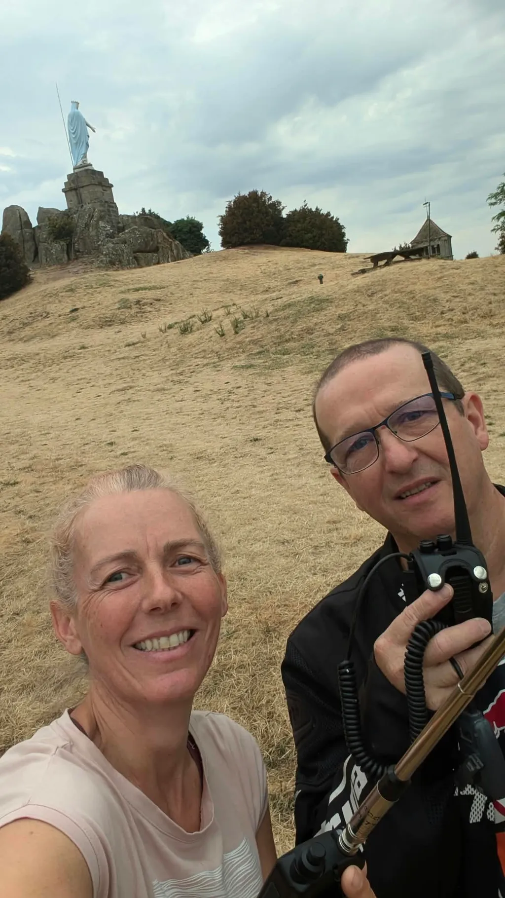
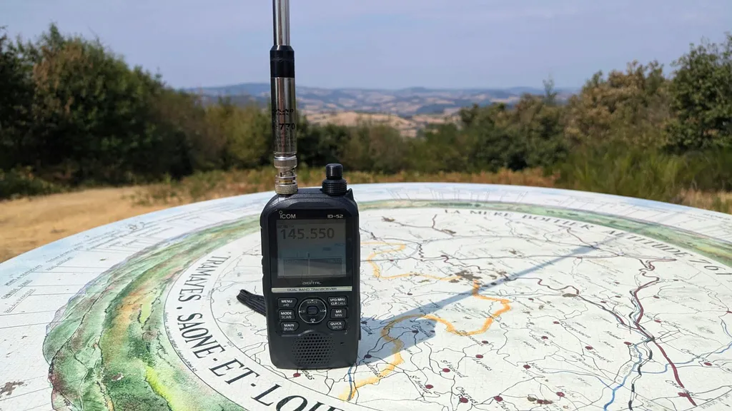
- La Mère Boitier (FL/VL-031)
In my naivety I believe I can activate 2 summits per day and still meet friends in the afternoon/evening. I only told 2 people that I was in the area. Well, the news obviously spreads all by itself, and after 2 days and a blistering heat of 40 degrees the fuss (however kindly it's meant) is too much for me and I flee again. Too much social contact is extremely overwhelming for me.
Highlight 1 of the activations in the Charollais-Brionnais area: while I'm on the Butte de Suin, F4ELU Roger drops by in person. From this summit I get 10 QSOs on 2m straight away, which makes me really happy, and from now on I'm probably known in the area too, because my message obviously got spread around via social networks.
Highlight 2, from the summit La Mère Boitier, is the S2S on 2m and 70cm with HB9HCS Stefan, 212km away. He's just as pleased about it as I am.
But now that's definitely enough of the little hills around here. My favourite friend writes to me: "A 600-er and a 758-er in one day - is that still sensible at your age?"
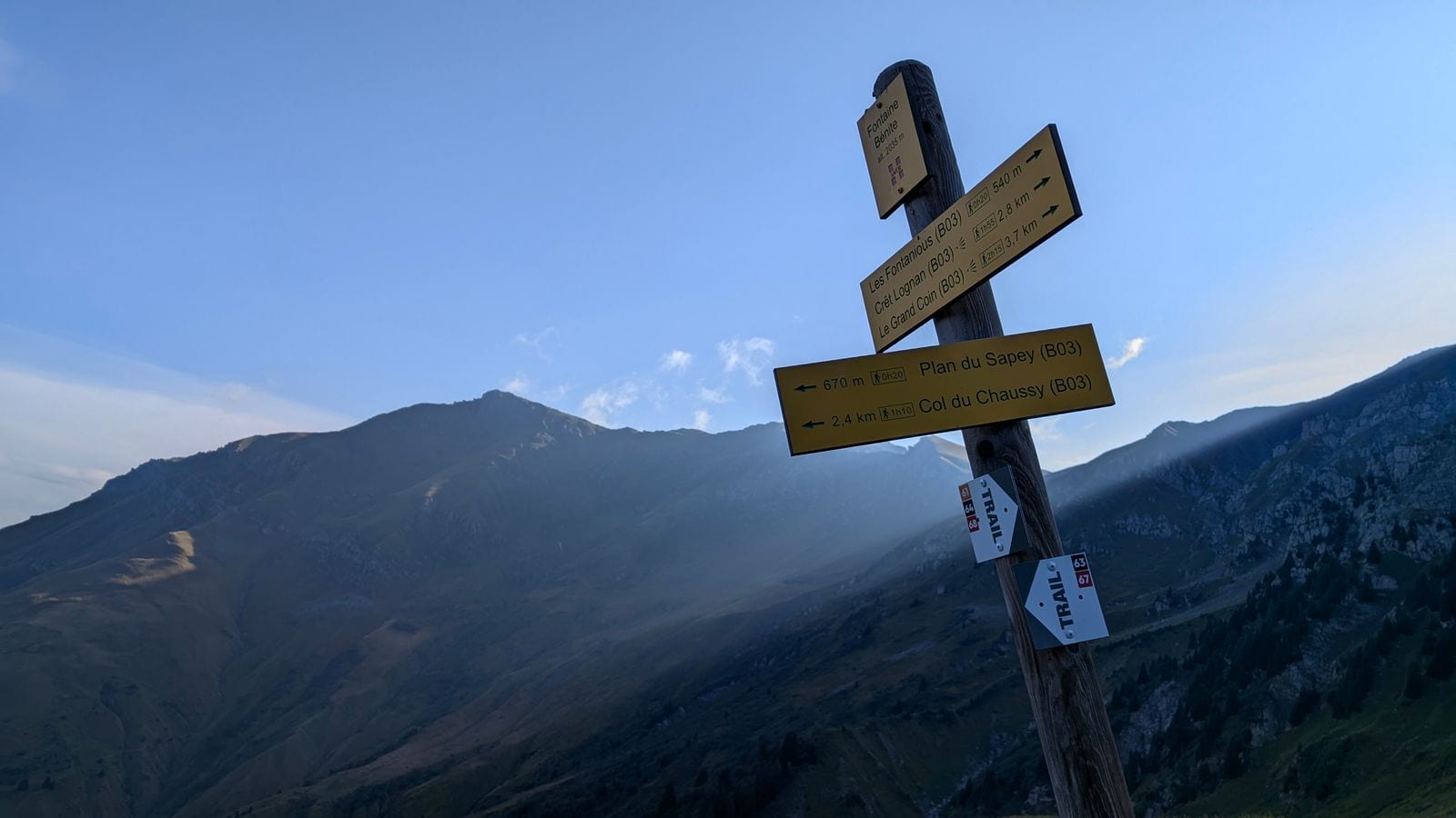
All right then, something proper it has to be again. On Sotlas I zoom into the sea of red dots in the French Alps and search specifically for a mountain for a first activation. I find one pretty quickly. Le Grand Coin, 2,730m high, 1,200 vertical metres, 4 hours of walking in. Now that does sound rather more proper than 600m and 758m.
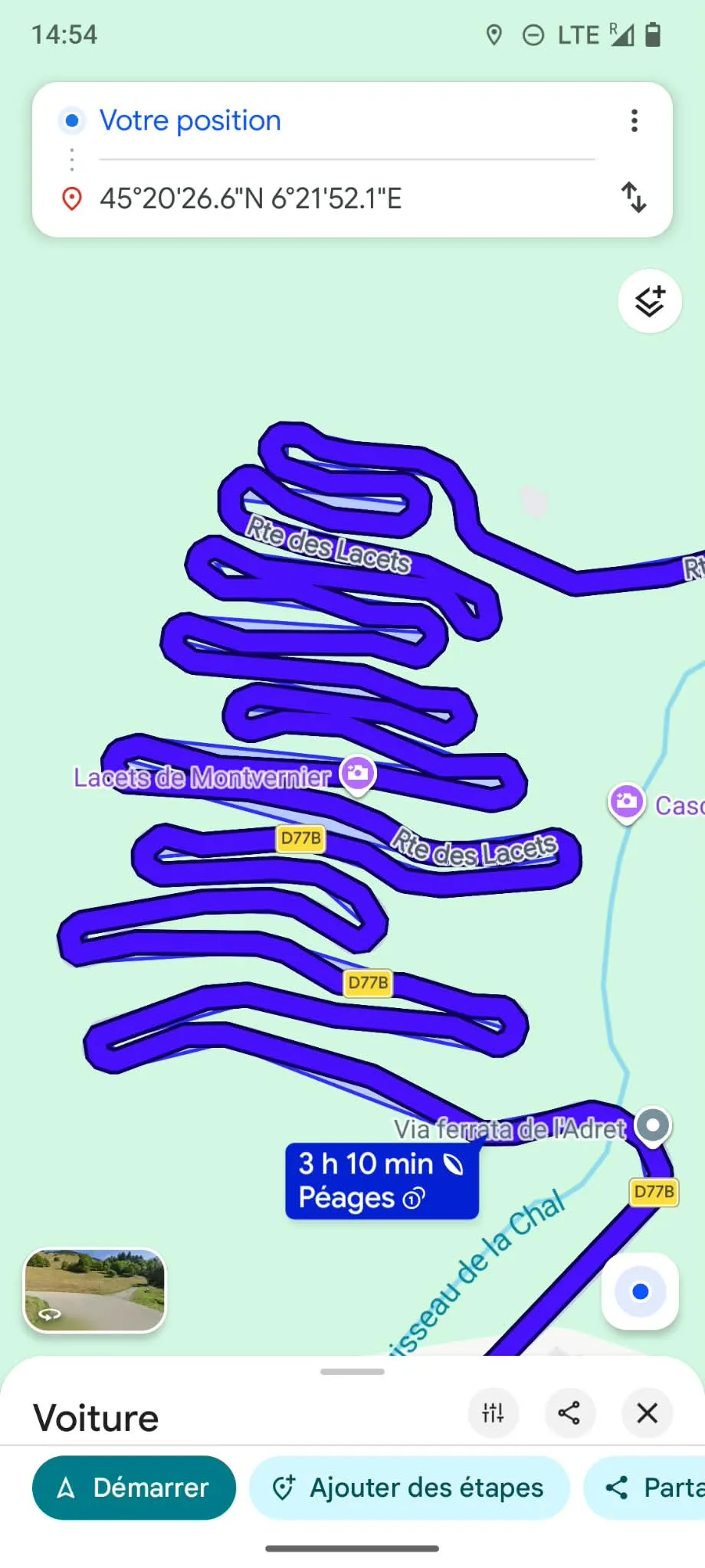
3h15 of driving, past a burning lorry lying across the road on the motorway, over a winding alpine road, find a sleeping spot above Saint Jean de Maurienne, convert the car and watch the thunderstorm from inside it „et bonne nuit".
Day 9 (17 Aug)
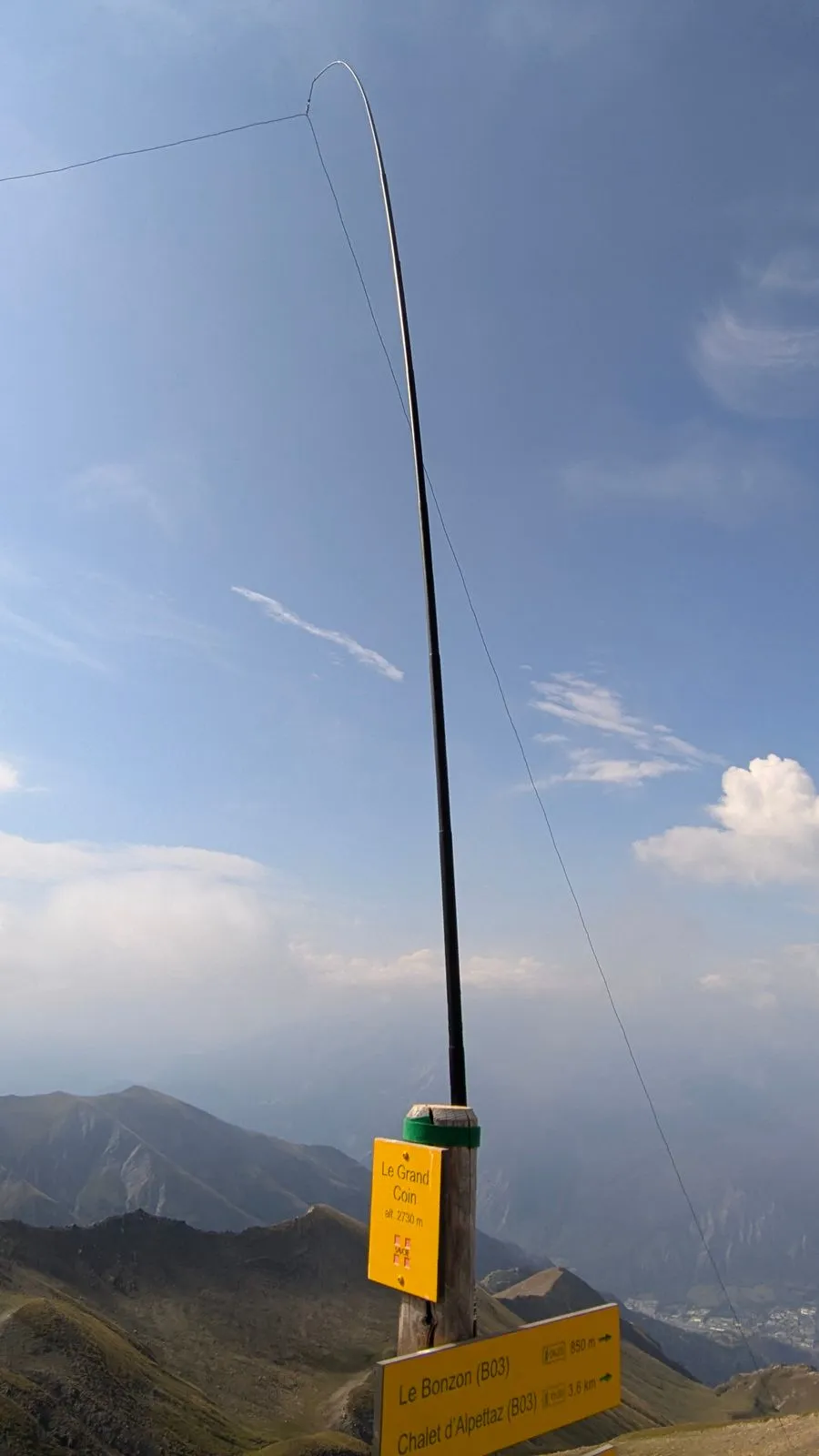
- Le Grand Coin (F/AB-217)
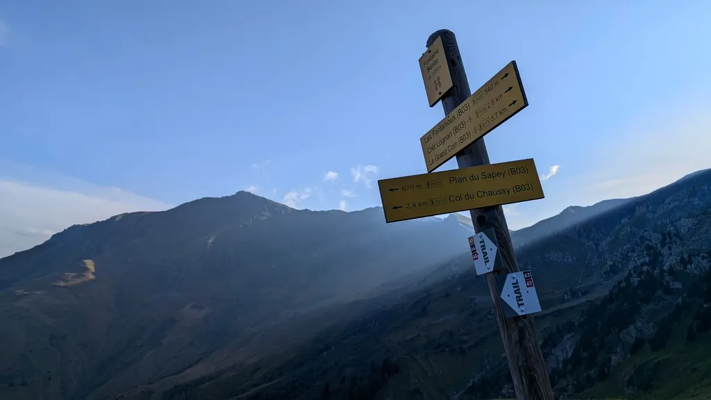
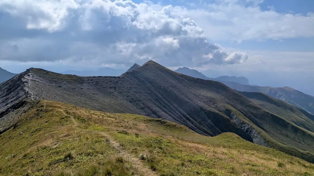
Now it's back to more vertical metres, carrying more water, more clothes, more weight - same old same old. I'm out on the mountain the whole morning alone with me, myself and I, but in return I see a marmot, 3 chamois, an ibex and what I first think is an eagle. But when one eagle turns into 3, then 5 and then 9, I become more and more convinced that they must be vultures. They're huge and really beautiful, circling above me like that. I don't do them the favour of dropping dead, though. ;)
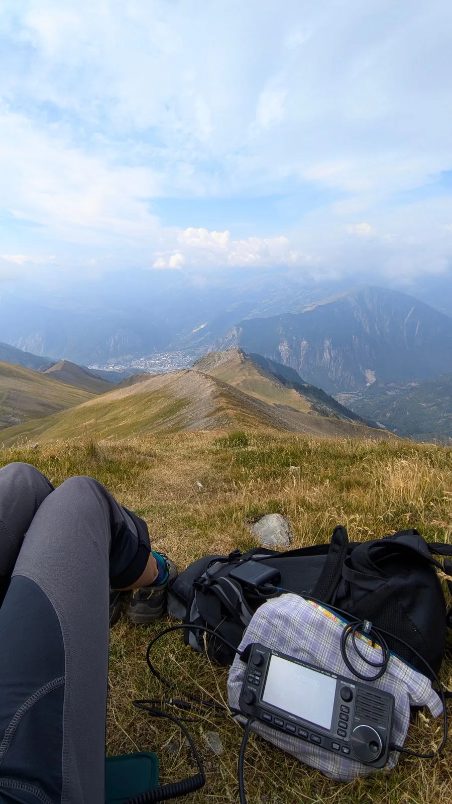
The weather is supposed to hold until the afternoon, but when it turns really black before 10 a.m. I check meteoblue once more. Dammit - now it's raining from 9 a.m. with a probability of 75%. I pant my way up even faster, and after all the activations of the last few days at least setting up the antenna goes like clockwork. I'm QRV at 10h40, I'm absolutely thrilled about the first activation and just before 11 I have to pack up again in a hurry. It gets so black and the fog takes away all my visibility. I quickly try my luck on 2m and then I'm already sprinting off again. First 900m along the ridge, almost flat, then quite a long way down with no shelter, tree, rock or refuge. This is not where I want to get caught by a thunderstorm. After 30 minutes it does get a bit brighter again, though, and I come out of the fog, which is now only wrapping the mountain tops. There's still time for a few bilberries, and only 100m before I get to the car park does it start raining lightly. Phew! Lucky! But ouch, my knees...
I sit down in the restaurant at the Col du Chaussy, eat something and wait until the rain clears off again. It keeps raining for the rest of the afternoon and I get my head down in the car. Before that I look for a good walking route up the next summit and hope for better weather for the next first activation.
Day 10 (18 Aug)
- Le Bellachat (F/AB-196)
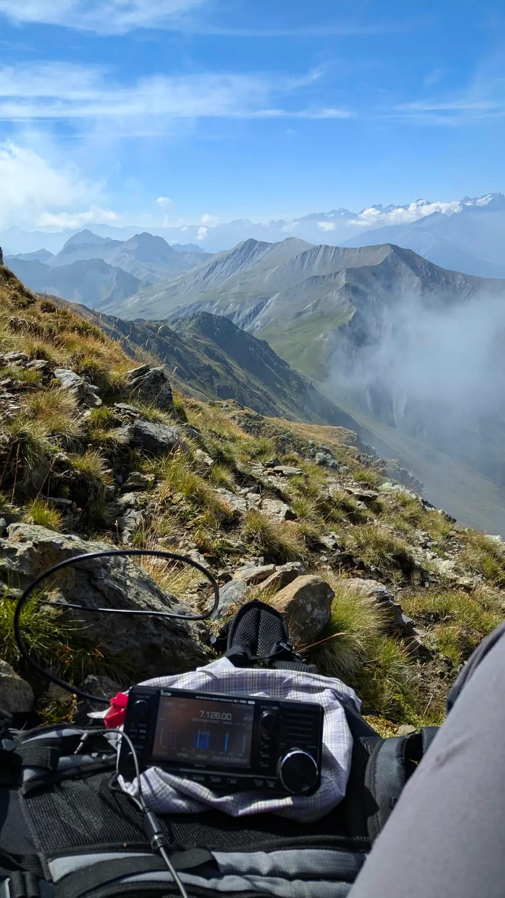
Today we push the positive vertical metres up a bit further to 1,370, and the summit is higher than yesterday's too at 2,822m. That means a longer walk in, and the weather has to hold. Until 12h30 this is the absolutely most beautiful and best radio day of the tour. After that it turns more into a nightmare. The ascent is so lovely that it feels like I reach for my phone every 2 minutes to take a photo. The landscape is breathtakingly wild, untouched and beautiful, and I meet hundreds of sheep, more than 10 ibex (2 of them 10 metres away) and several marmots (one only 5 metres away). The weather is a dream and I arrive on the summit overjoyed. The first activation works out, and at the end I deliberately wait another half hour for IK2LEY Fabio so that I can go QRT with 50 QSOs.
And yes, after that I unfortunately get punished for wanting to take a short cut on the way down. It's so steep that I slip twice in the tall grass. In the process I lose my phone out of my trouser pocket. By the time I notice, I have no idea any more exactly where I slipped. First I search back and forth along the route. After a while I walk over to the alpine dairy hut I'd seen on the way up, to ask for a phone so I might be able to locate my own. The dairywoman is super kind and lends me her phone. But since my phone is on silent and in flight mode, only the last position can be determined, not the most recent one. That's far too imprecise, and after 5 hours of searching and more than 2,000 vertical metres done in total, I give up. Besides, there are supposed to be a lot of wolves here and I don't want to meet one when night falls. I take the dairywoman's phone back, start the descent, meet 2 more hunters who are walking up in the evening (maybe they're out hunting wolves) and don't get back to the car until late.
Around 8 p.m. I decide that it's going to be really hard to keep driving and operating for a few more days without a phone, and set off towards Italy. First through the Tunnel de Fréjus, then towards Turin and Milan, then towards Venice. At around half past midnight and half past four in the morning I lie down for an hour each time and I'm home at 9 in the morning. I can't rest much, because now I have to go hunting for photos in the cloud and of course I need a new SIM card etc. To my dismay all the photos from the last 8 days, meaning all the photos I took in France, weren't synchronised. A few that I'd sent get sent back to me via WhatsApp and Signal, but I'm endlessly sorry about the last day above all. I sent a single photo to IN3JIB Julian right while logging, when a message from him pops up: „you really are unstoppable". Yeah, and that's how quickly I became stoppable.
Conclusion
Switzerland, which was actually supposed to be the goal of this trip, is something I've now genuinely only driven around. In return I covered countless kilometres in 10 days, spent around 38 hours in the car (and slept in it as well), activated 30 summits, logged lots of lovely QSOs and crossed half of Germany and France in the process, including a spontaneous night drive right across Italy. So the planned 4000-metre project turned into something completely different.
I now know that 10-point summits can be activated quickly, but also that a roadtrip with heat, driving and activations at high speed clearly takes it out of you too.
In this form I don't need a radio roadtrip like that a second time. Next time I'd rather pick one area again (like the Abruzzo in July), stay there longer, drive fewer kilometres and in return spend more time on the mountain again. As tempting as all those red dots on Sotlas in the Bayrischer Wald, in the Schwarzwald and in the Elsass were – the two first activations on Le Bellachat and Le Grand Coin were definitely my highlight of the whole tour.
And one thing is certain: the next trip is going to Switzerland.
73 de Sigrid Magdalena OE1YLS
This is a guest post by Sigrid Magdalena, OE1YLS. Do you also have a story from the mountain or from the shack? Write to us at [email protected]!