25.6.–28.6.2026
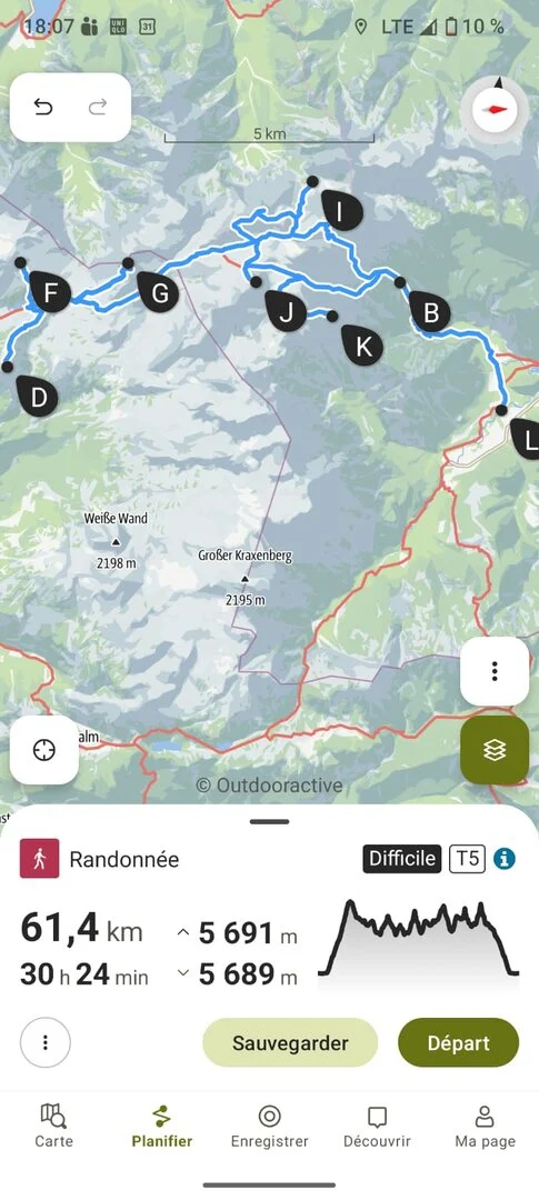
The Totes Gebirge project is a go. Since spring I've been thinking about how many summits I can activate up there in 3 days. I know the huts, I know the trails criss-crossing the plateau — but not all 7 planned peaks individually: Spitzmauer, Rotgschirr, Schermberg, Elm, Temlberg, Gr. Priel, Hochkogel are all calling my name. The Outdooractive app crunches the numbers and spits out: 61.4 km, 30:24 hours of walking time (not counting radio time) and 5,691 hm. Whoa! The elevation gain alone takes my breath away. I send the tour screenshot to a geocacher friend who knows the area well, and to a ham radio friend.
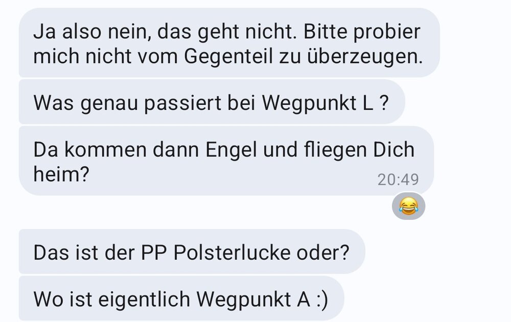
The ham replies: "WTF," followed by: "You'll manage. You're fit enough." The geocacher writes: "You've completely lost it." Followed by: "I mean, no — that's not possible. Please don't try to convince me otherwise."
Right then, let's go! The forecast is spectacular — almost too spectacular, because it's going to be brutally hot and I know water sources up there are scarce. I have to shuffle the route order a bit, as Pühringer Hütte is already fully booked from Saturday to Sunday. On Thursday (25.6.) after work I set off towards Hinterstoder. Destination: the Polsterlucke car park and a 2½-hour walk up to the Prielschutzhaus.
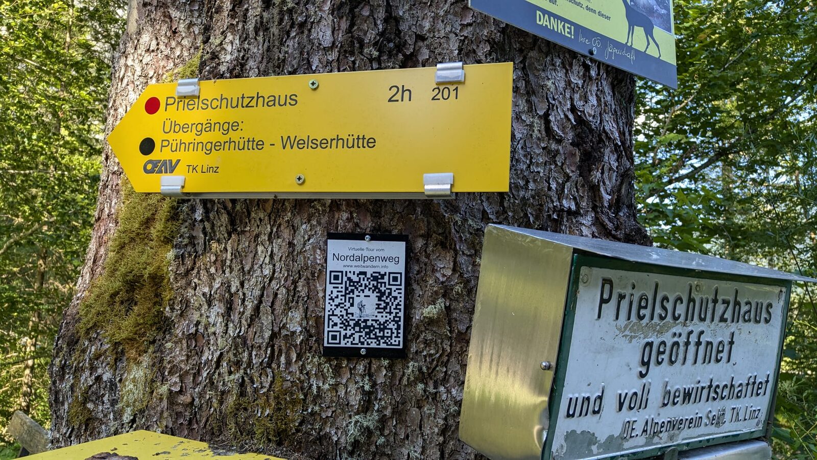
Since I've convinced myself to haul the HF radio along as well, the pack is correspondingly heavy. And right away I clock up more elevation than planned — two thirds of the way up I realise I left my peaked cap at the last water stop. Nothing for it: without a hat, three days in the Totes Gebirge is out of the question. Without much deliberation I drop the pack and sprint about 200 hm back down... and then back up again…
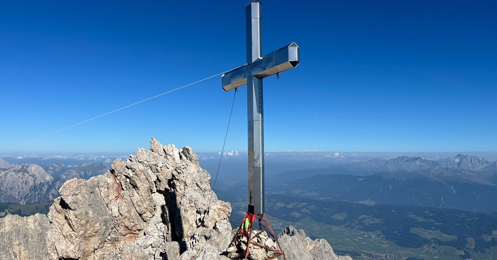
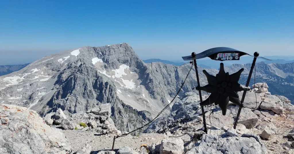
At the hut I find a quiet spot in the dormitory — Thursday night there's plenty of space, and on Friday (26.6.) I set off at 7 a.m. towards Spitzmauer (OE/OO-005). Today's plan: Spitzmauer, Temlberg (OE/OO-169), then overnight at Pühringer Hütte. The hut keeper at the Prielhütte recommends I take the Stodertaler-Klettersteig up and back down, as there are still snow fields on the normal route. The climb is demanding and steep, and the view from the edelweiss summit cross is absolutely stunning. The Endfed goes up quickly, and at quarter past ten I work the first QSOs on 40m, then 20, and finally 2m. An hour later it's back downhill — after the via ferrata, onwards along the normal route towards Temlberg. When I first catch sight of it, I gulp. Wow, that's steep. Well, I'm here now.
Spitzmauer
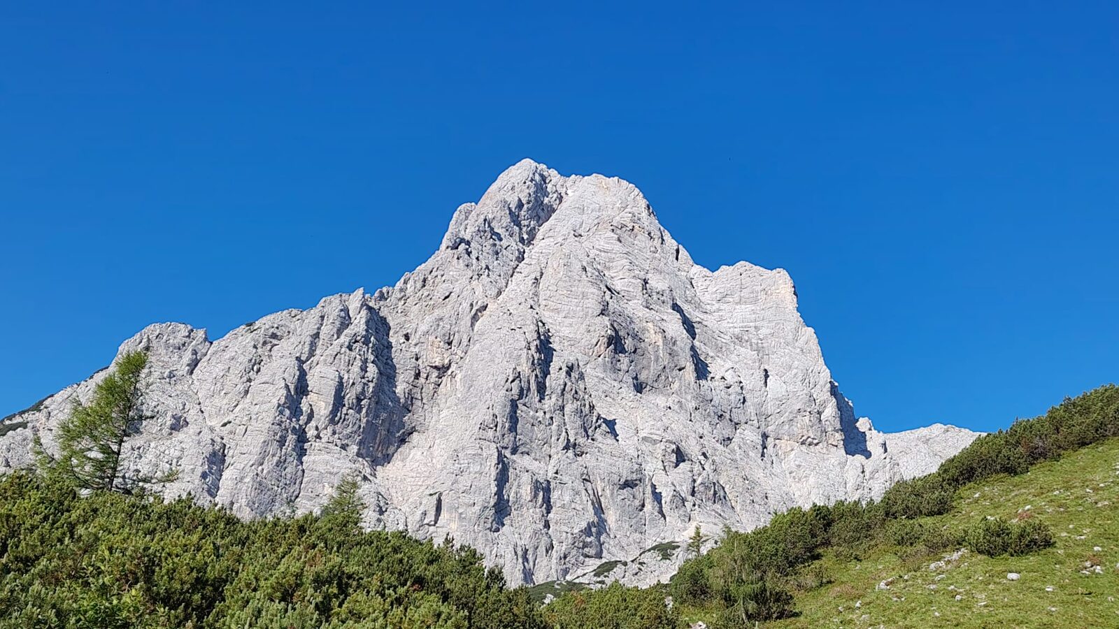
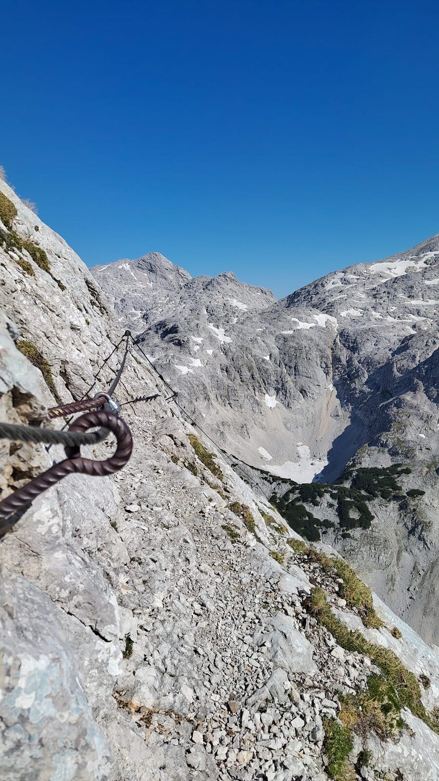
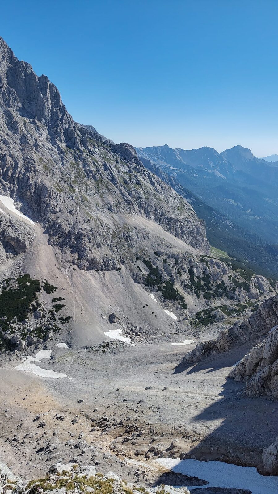
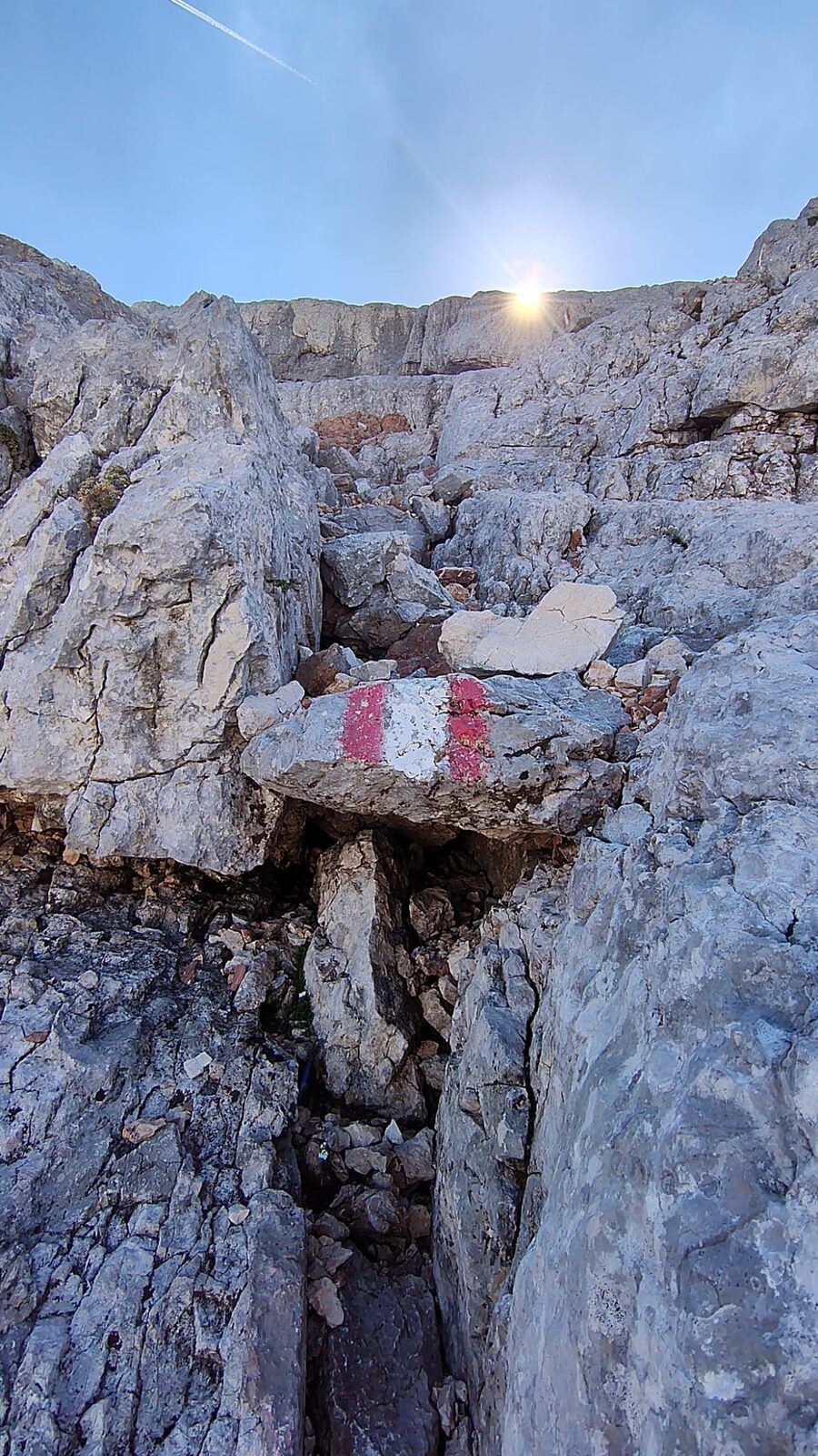
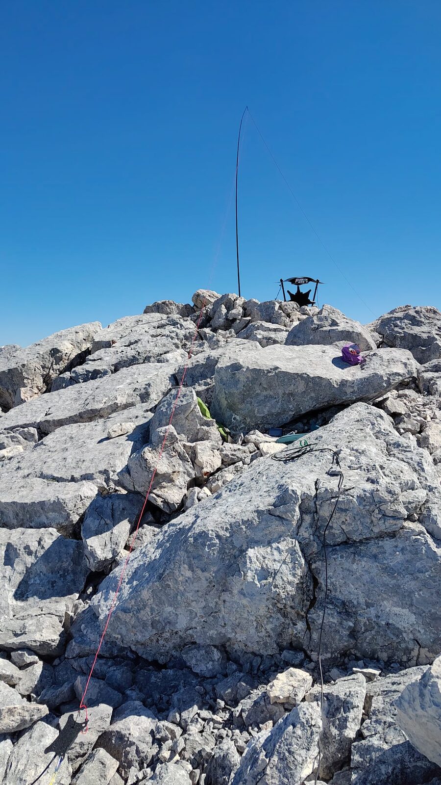
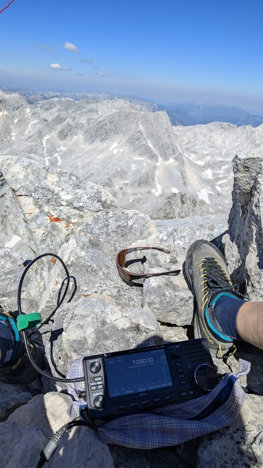
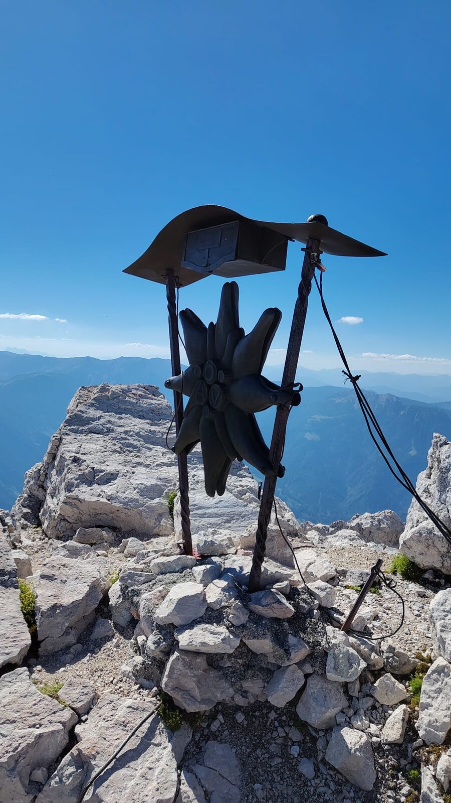
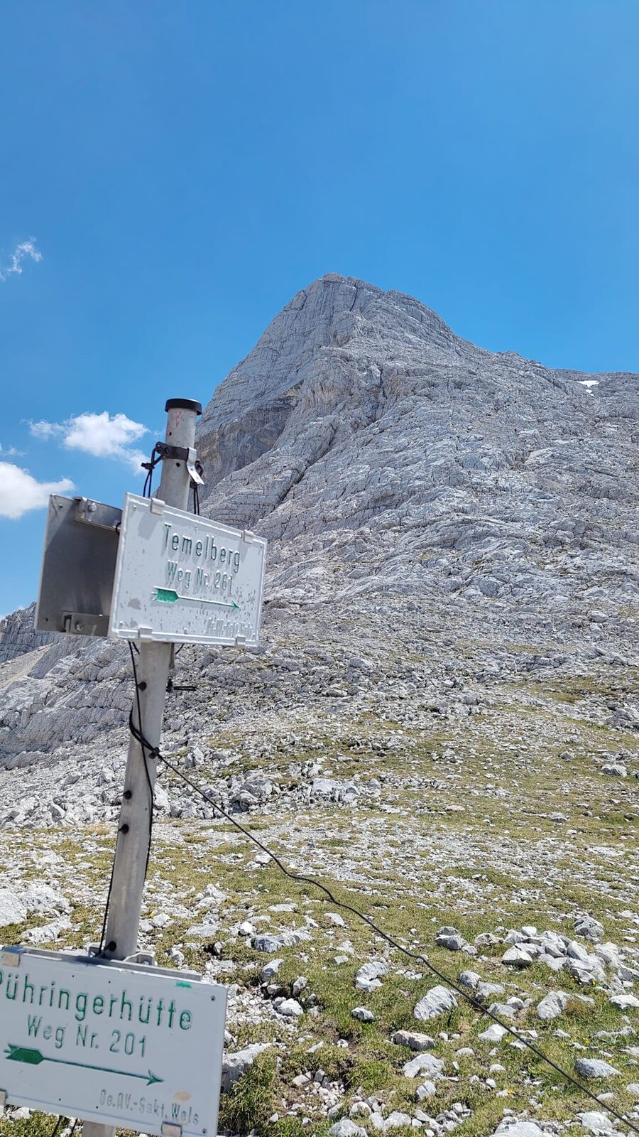
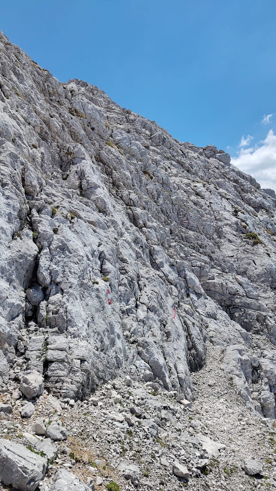
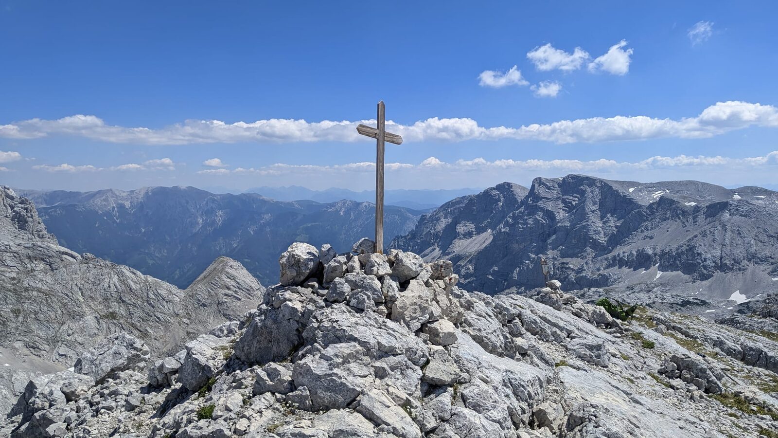
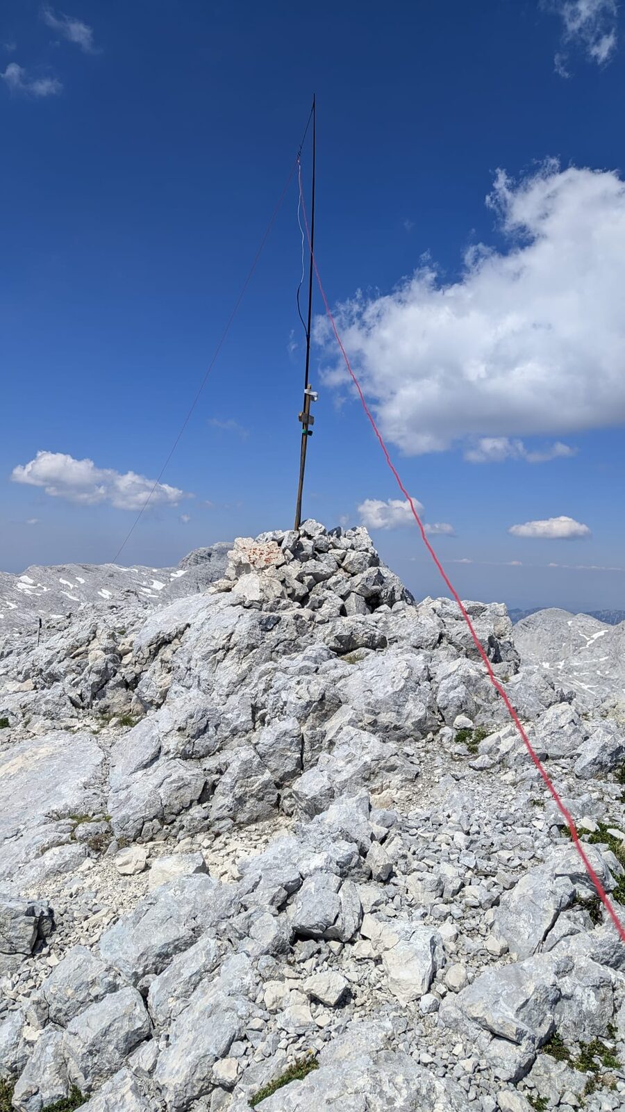
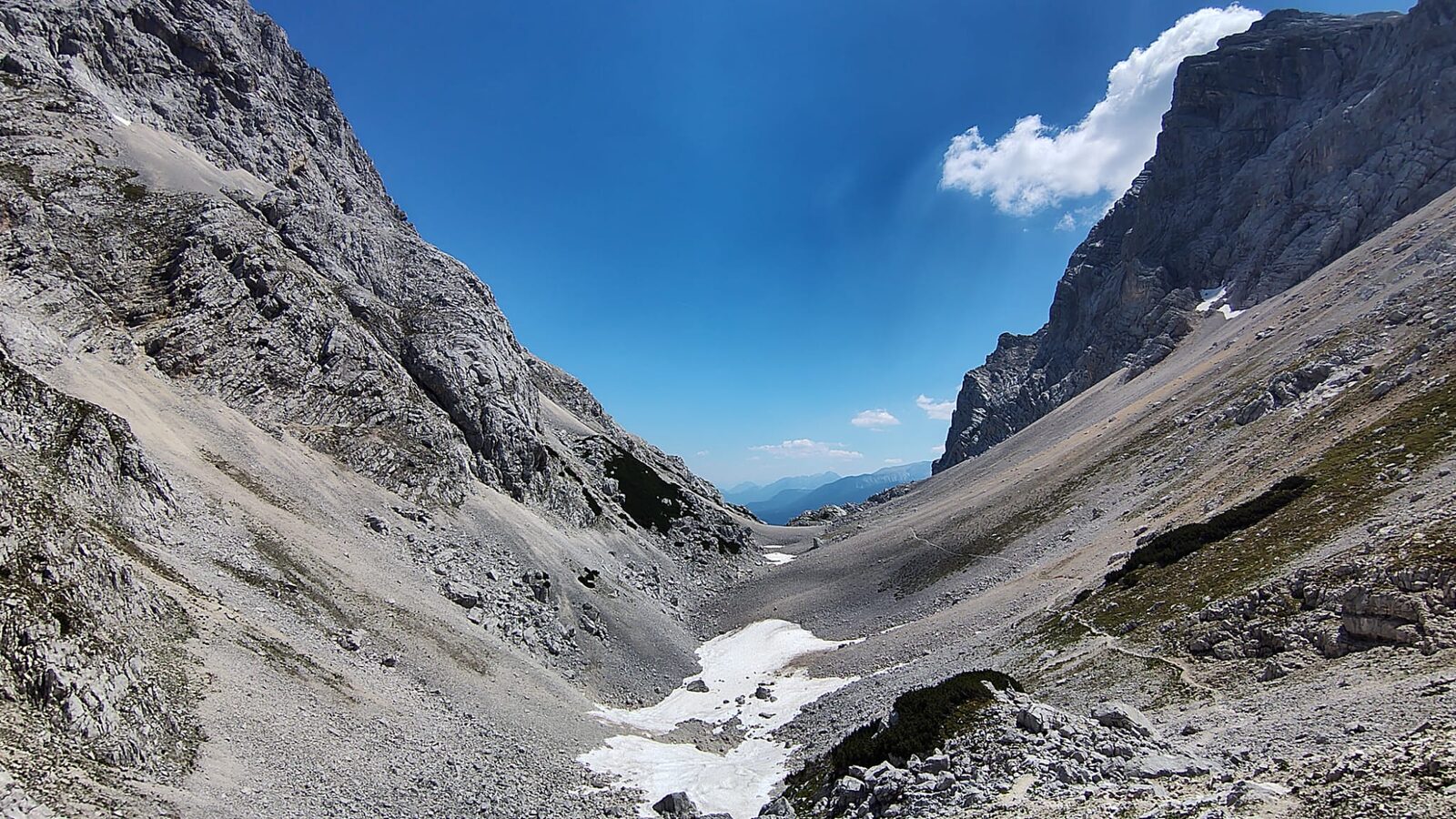
A few other hikers pass me going the other direction, but it's quiet today. At the foot of Temlberg I offload everything from my pack that I don't need for the radio, stuff it into my sleeping bag liner and stash the bundle next to a rock. I'll do this at every summit where the ascent and descent use the same route — the weight difference is enormous. Fairly quickly (though again very steeply) I'm at the top and I take my time with the radio. It adds up to 28 QSOs, including one on 6m and another on 10m. While logging, my phone overheats and briefly gives up the ghost. Before heading down I upload the logs directly to SOTLAS, since the next hut reportedly has no signal. It's not until around 4 p.m. that I set off for Pühringer Hütte. In my naivety I assume the hut is "just around the corner." Not even close. The next 3 hours of walking feel like an eternity, and the water gets dangerously low. In the heat, the only thing I can think about is the prospect of jumping into the lake by the hut. By 7 p.m. I arrive completely done in. Everyone is at dinner; I have zero appetite. I cancel my meal with the hut keeper — who isn't exactly thrilled — and five minutes later I'm in the lake. Being someone who normally freezes at the slightest drop in temperature, I can't believe how warm the water is. The sun has already disappeared behind Hochkogel, but the stone slab I lie on to dry still radiates warmth beautifully from below. The exhausting 12-hour day is instantly forgotten. By 9 p.m. I'm in the dormitory, and I get a full night's non-stop soundtrack of snoring. By 5 a.m. I can't take it any more and head down to the lake in my pyjamas, where mist is rising from the surface, and swim a few laps with Hochkogel in view. There is nowhere else in the world I would rather be right now. By this point I know for certain that activating Hochkogel will be sacrificed to the lake. If I could, I'd spend the whole day in, on and around the water. The ascent to Elm (OE/ST-082) starts at 8 a.m. and turns out to be trickier than I'd expected. The rock fissures and holes are unforgiving and every single step has to be placed with care. The reward at the summit is a stunning view over Grundlsee.
Temlberg
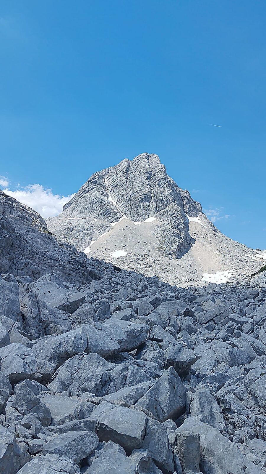
Pühringer Hütte, See & Elm
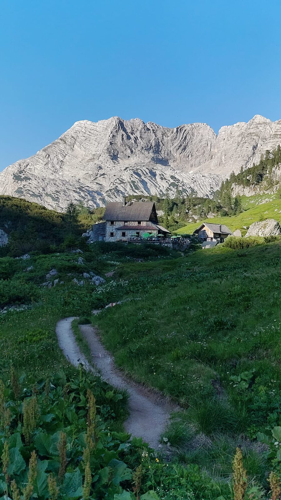
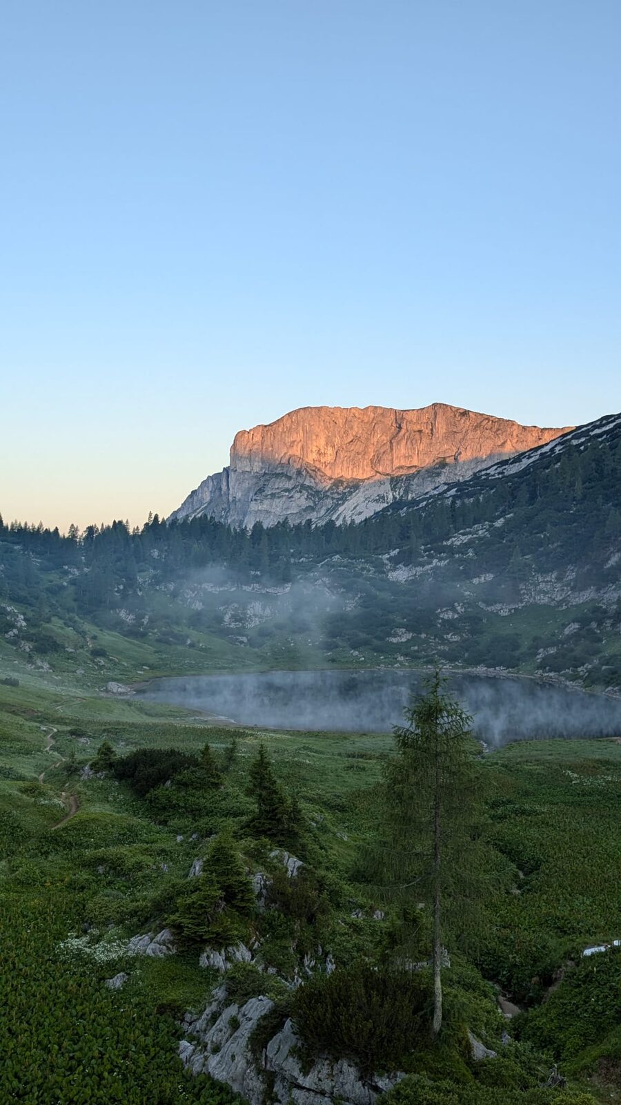
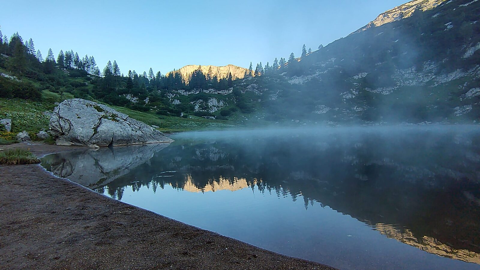
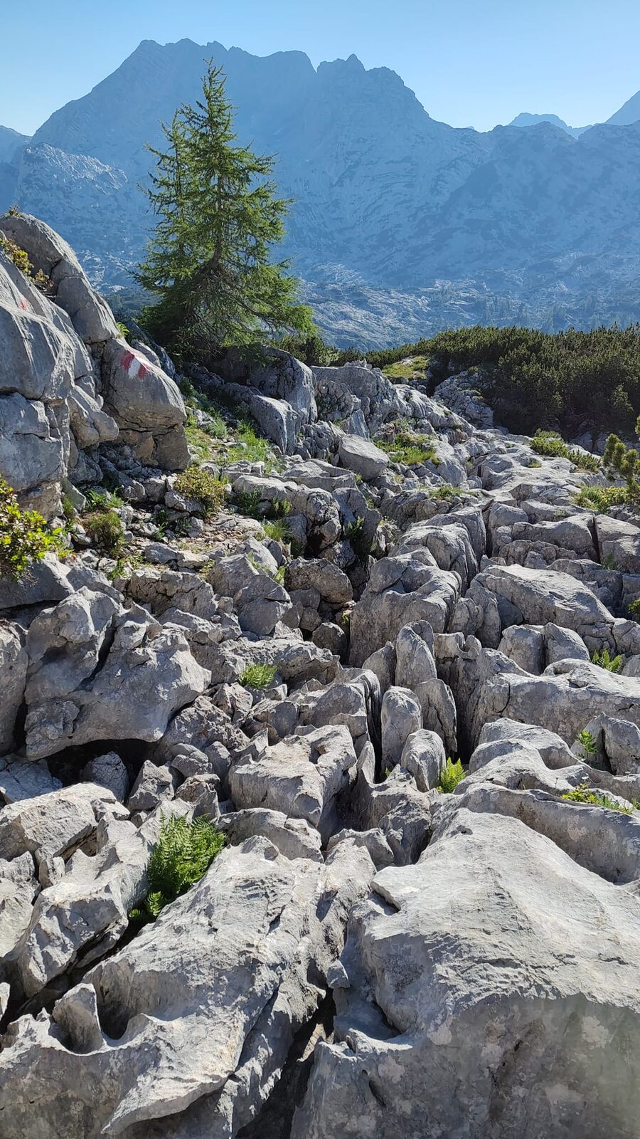
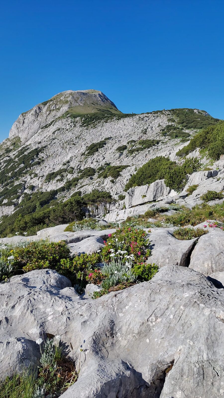
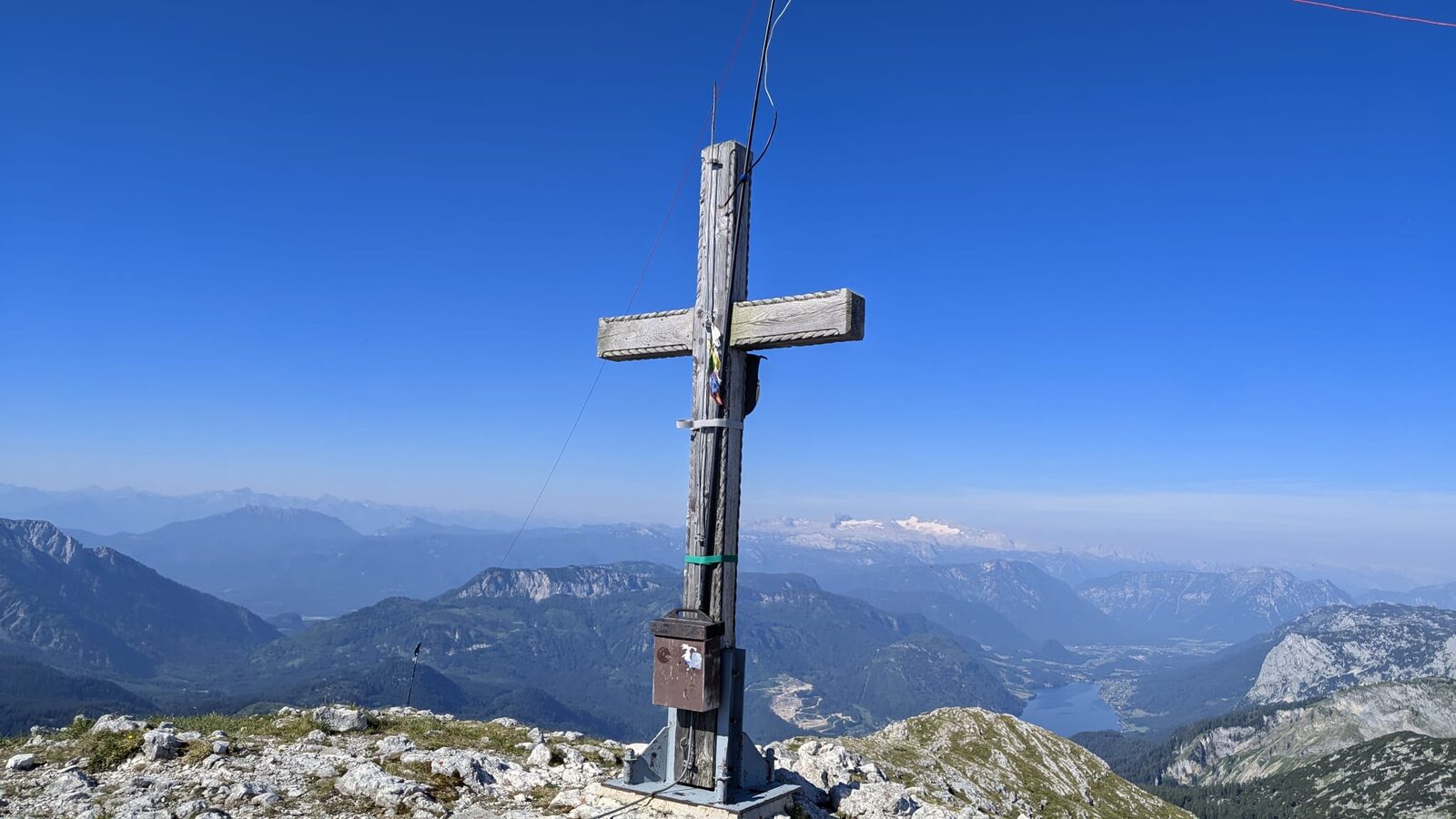
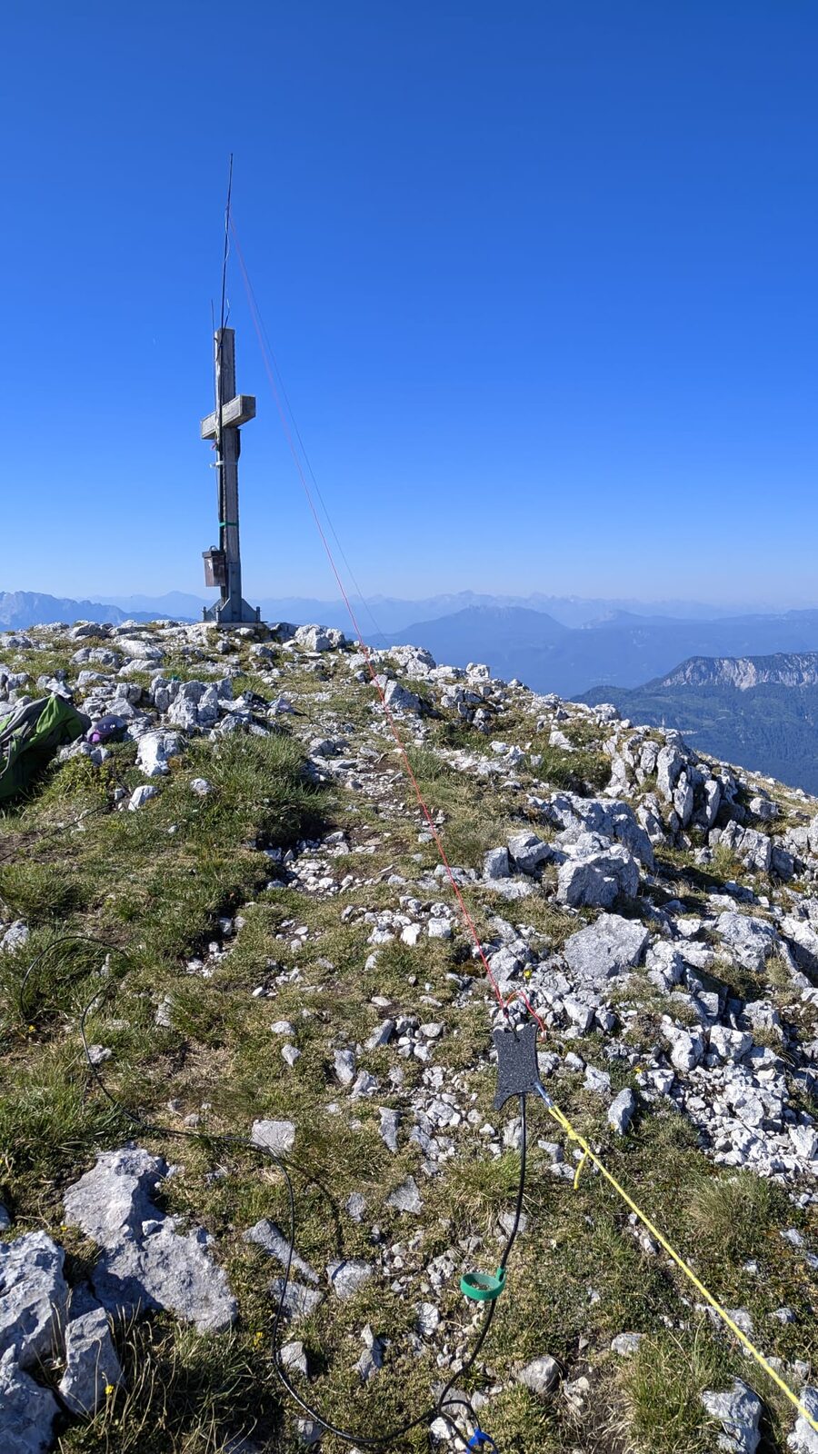
Obligatory stop at the lake at 11 a.m. Splash, splash, sunscreen, top up the water, keep moving. I already know that even without Hochkogel, today is going to be a long one. Starting the ascent to Rotgschirr (OE/OO-174) just before noon isn't the cleverest idea, but the next overnight is planned at Welserhütte and at some point today I do need to get there.
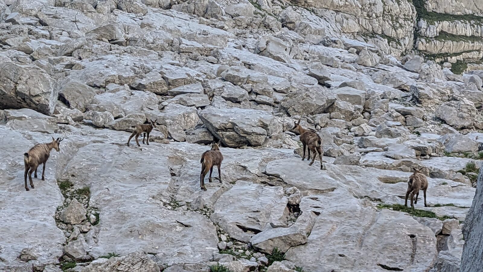
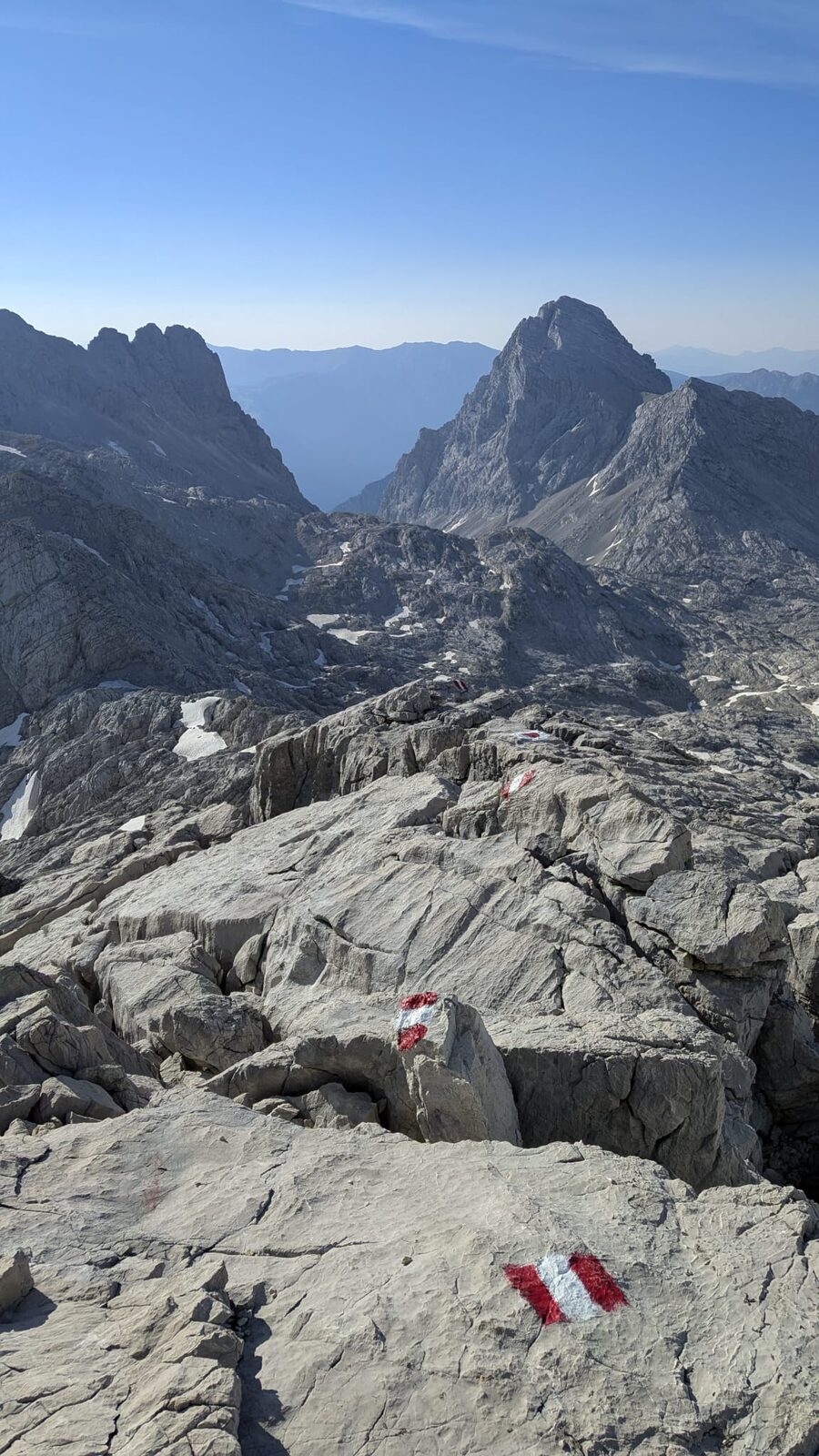
With the full pack on my back and topped-up water bottles, I drag myself up the steep ascent in the midday heat. Towards the top the path is rope-assisted, and throughout there are repeated snow fields to cross. At every snow field right through to Sunday evening I rub snow on my legs, arms, neck and forehead. Each time I'm grateful for the cooldown. Completely wiped out, I reach the summit just before 2 p.m. and, to my own annoyance, forget to take a summit photo. My mind is already on the descent — I'm worried I won't find a way forward and will have to retrace everything, which would mean 3 extra hours of walking. This distraction follows me into the radio session and I go QRT fairly soon. Thank goodness I find a good, safe descent that drops me directly onto the marked trail towards Welserhütte. Along the way, as every day, I spot the occasional chamois — and just before Welserhütte an entire chamois family is out for an early evening stroll. It baffles me how they manage to survive up here. The Totes Gebirge is one giant heap of rock, and right now that heap of rock is radiating heat like city asphalt.
Rotgschirr
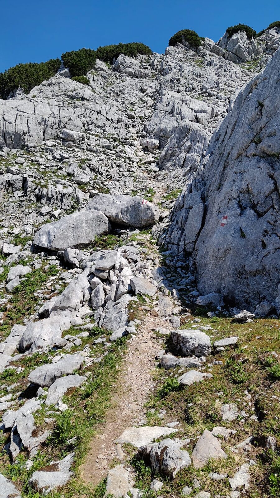
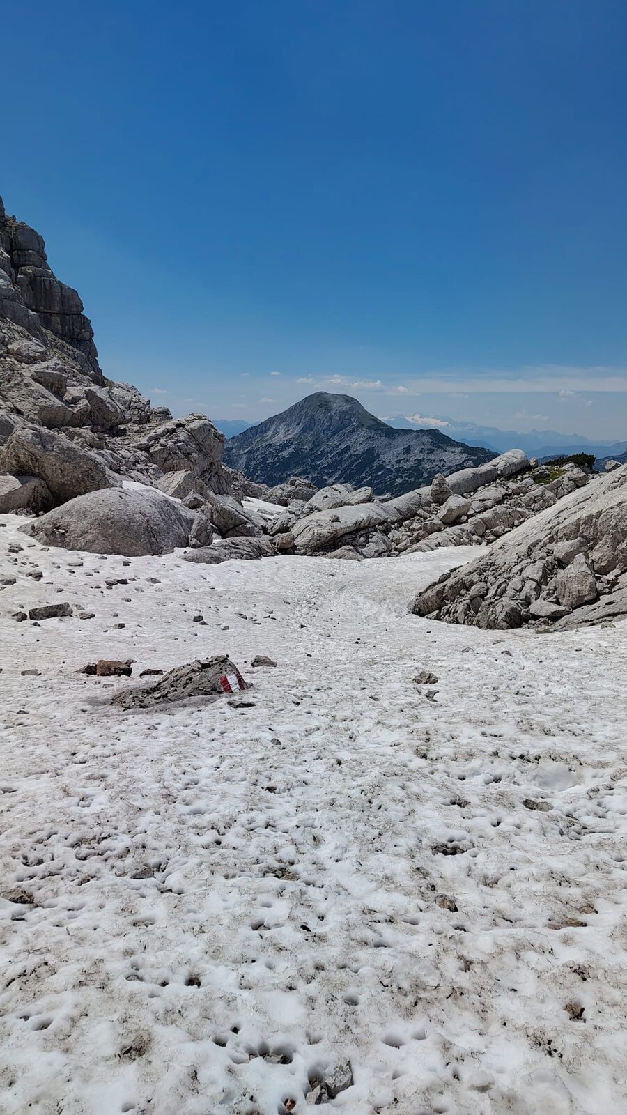
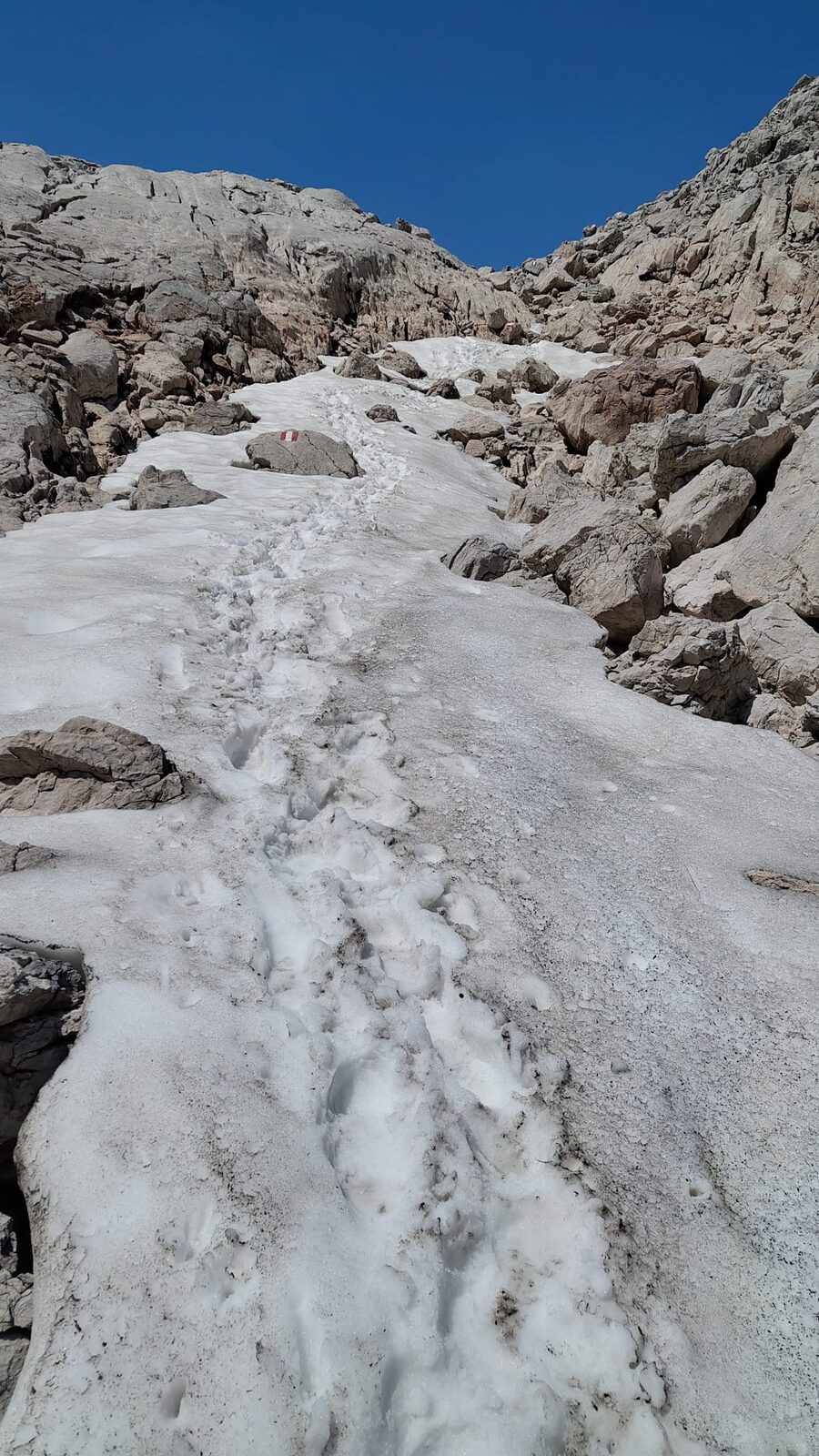
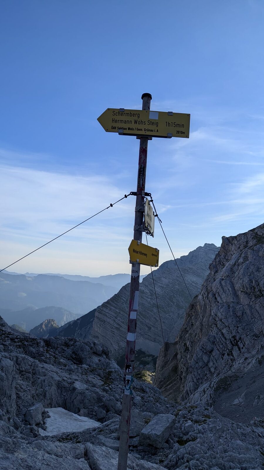
All in all I drink 4 to 5 litres of water that day and, just like the day before, I'm out for 12 hours in total. By 9 p.m. I'm in bed and wake the next morning after an unparalleled snoring concert, feeling like I'm about to die of thirst. At least the snorers are blissfully asleep. Today I don't wait for breakfast and set off at 5:55 a.m. with heavy legs and bone-tired towards Schermberg (OE/OO-163). The day will be hot enough as it is, and to finish things off Großer Priel (OE/OO-004) and the long descent to Hinterstoder still await.
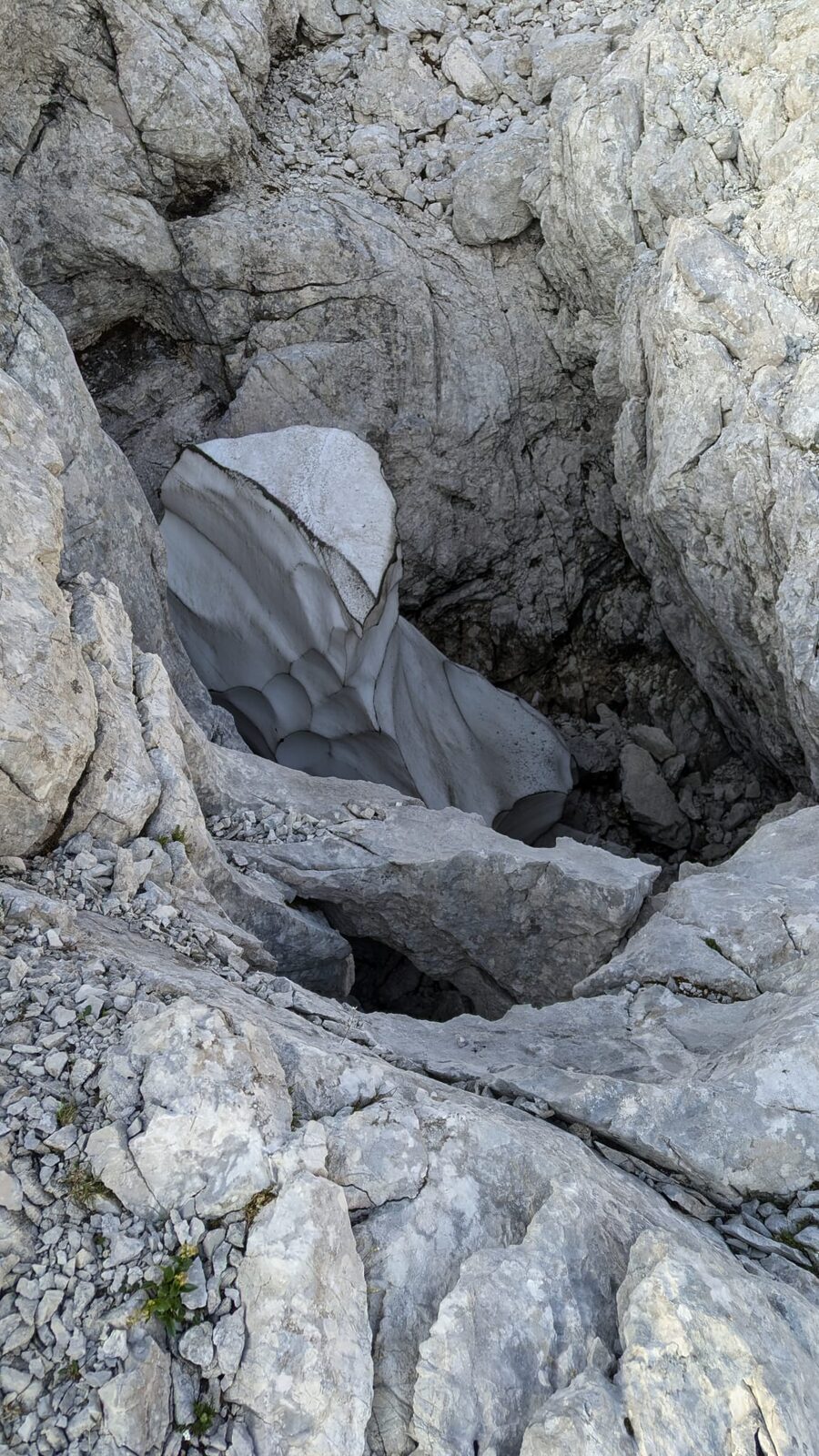
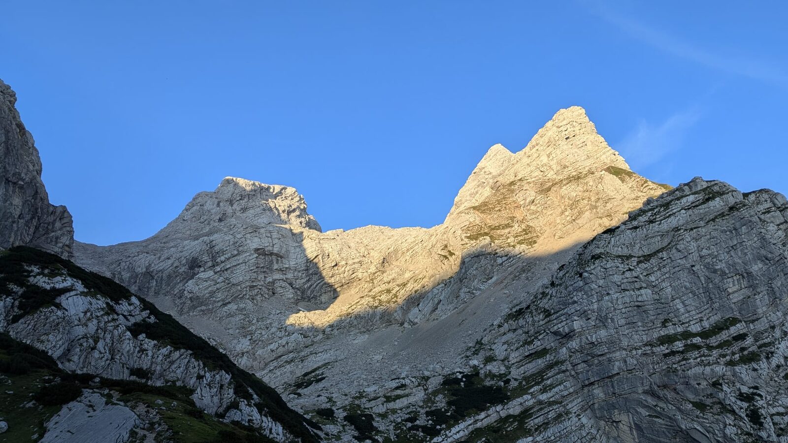
For once I start out in the shade. Right until the end, all my jackets and the windproof trousers stay untouched in the pack — I don't put anything extra on at a single summit. I know and love the Tassilo-Klettersteig, but today I take the normal route up. They might as well grade it as a via ferrata. Unexpectedly steep — seriously. Anyone who isn't completely sure-footed and free of vertigo has no business being here. Every handhold I need for scrambling I test twice before trusting it. Sometimes even larger chunks are loose. The whole tour demands constant concentration throughout. One moment's inattention and a shin could end up wedged in a crevice; with this much scree, every single step needs watching.
It's unbelievable how much you can sweat at 7:30 in the morning, but incredibly I'm already at the summit by 8 a.m. and setting up the Endfed antenna. My ultra-light but cheap fishing pole breaks yet again, and it takes me a little longer before I can call CQ Sota. There are a surprisingly large number of stations QRV on this Sunday morning and I'm glad of every single QSO.
Schermberg
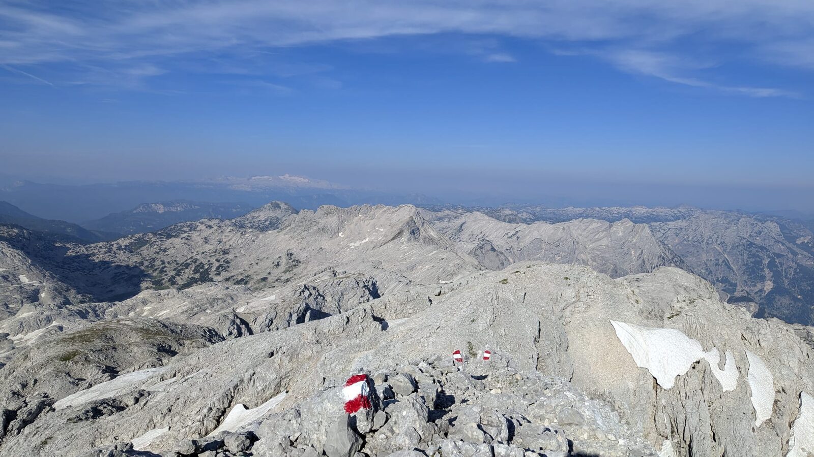
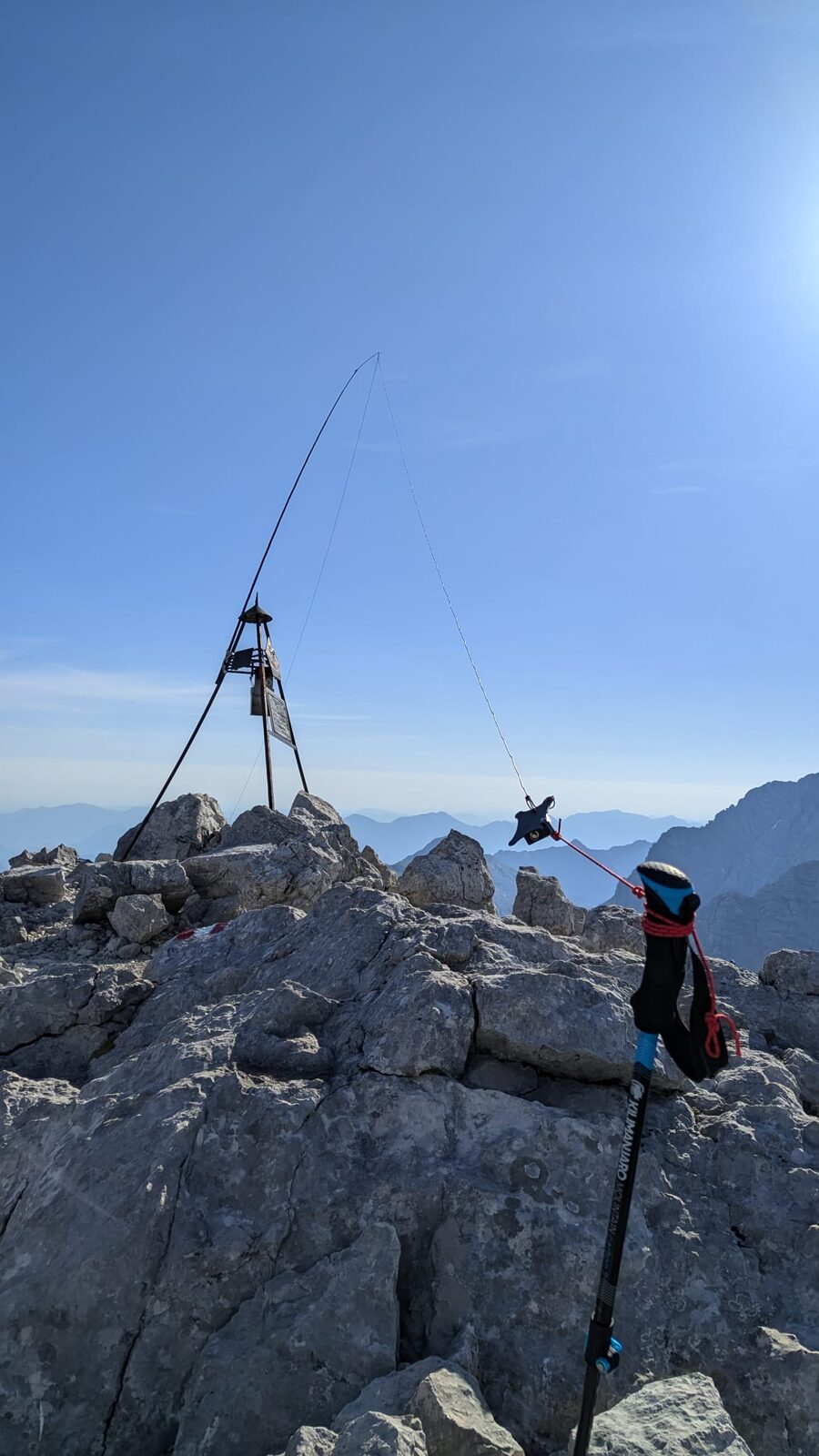
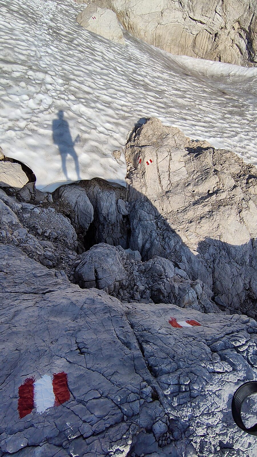
I'm a little nervous about the steep descent, but buoyed by 7 QSOs on 6m, I'm back down quickly. The final ascent to Großer Priel (coming from Welserhütte) turns out to be the easiest of the whole trip — I really hadn't expected that. By noon I'm at the top, and now I take all the time I want for the radio. In 1½ hours I work 50 QSOs. The Upper Austrians and Germans are wonderfully reliable this weekend and I get to hear one or two voices I haven't encountered before. The only thing I miss: more female voices.
Großer Priel
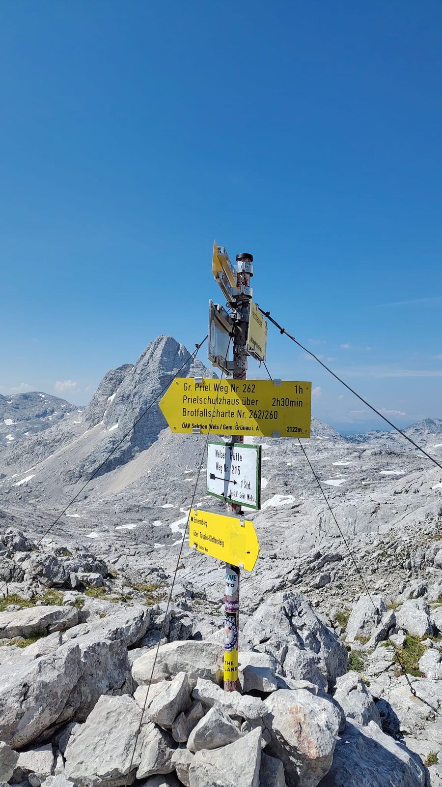
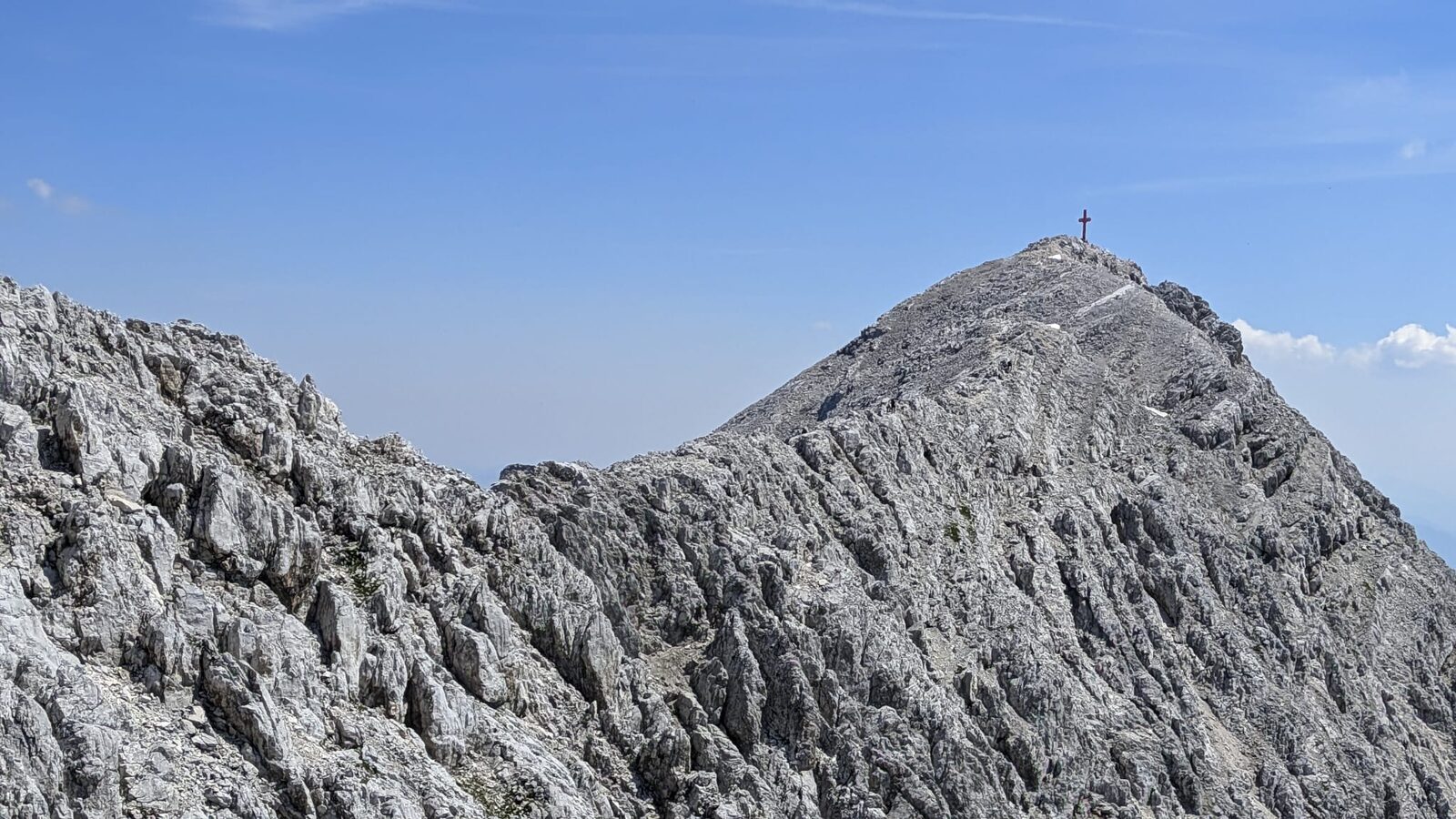
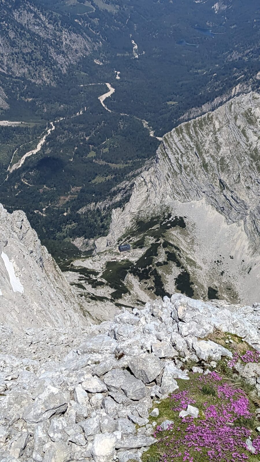
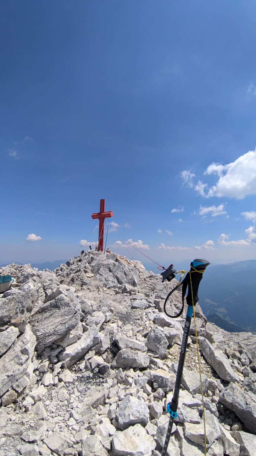
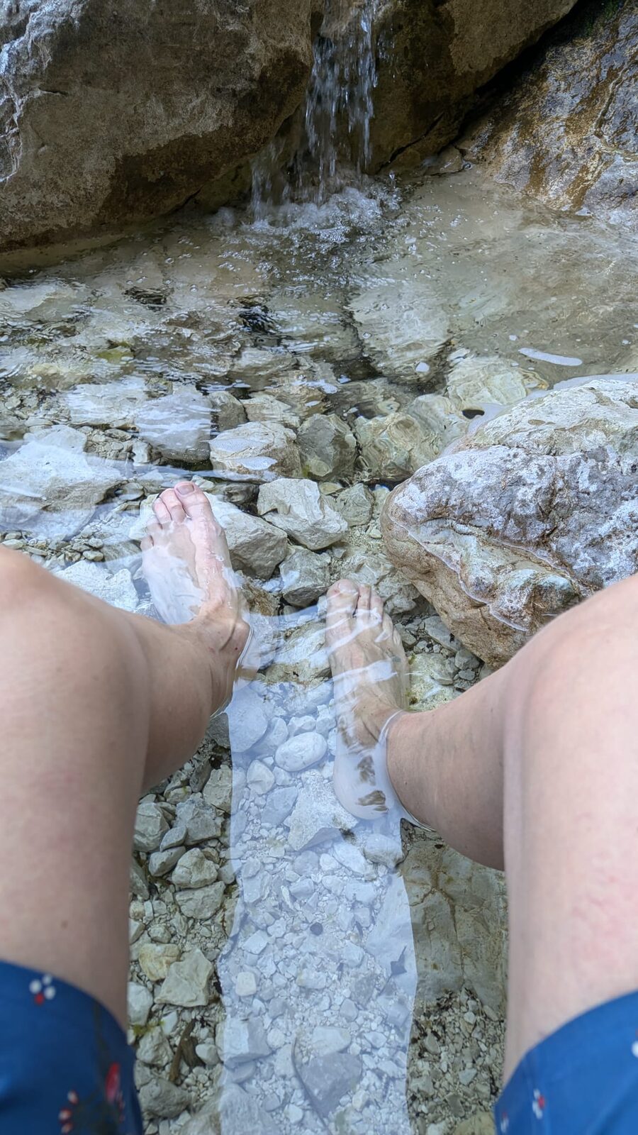
The first part of the descent is genuinely tough — you can tell Großer Priel sees a lot of traffic, as the rock is already quite polished and slippery. One last time: full concentration, the final snow fields — and then suddenly right in front of me a spring. Beautifully cold, clear drinking water piped through a hose. Both bottles get completely topped up. Sitting on a rock, I look down to Prielschutzhaus and much further below is the car park where my car is waiting. As if I'd planned it perfectly, day three also clocks in at exactly 12 hours. I get lucky twice more: at Prielschutzhaus the goods cableway is heading down and I'm allowed to attach my pack to it. Armed with just my water bottle I tackle the last 600 hm on foot. A quick stop at a waterfall — cool the feet — and onwards. I collect the pack and take a final break at a wide mountain stream. I want a quick dip before the nearly 3-hour drive back to Vienna. I jump in and I'm out again within 3 seconds. That stream is cold! I'm dressed again faster than planned, and I've walked maybe 10 metres of the last 20 minutes of the trail when a bus pulls up and gives me a free ride to the Polsterlucke car park.
A few scratches and grazes are all I take back to Vienna after three days of intense rock contact — along with the overwhelming feeling of having managed around 5,200 hm and 6 activated summits.
vy 73 de Sigrid Magdalena, OE1YLS